This copy is copyright protected.
Copyright © 2024 Geographicus Rare Antique Maps

Details
1844 Black Map of South America
1844 (undated) $100.00
1825 Whittaker Map of South America
SouthAmerica-whittaker-1825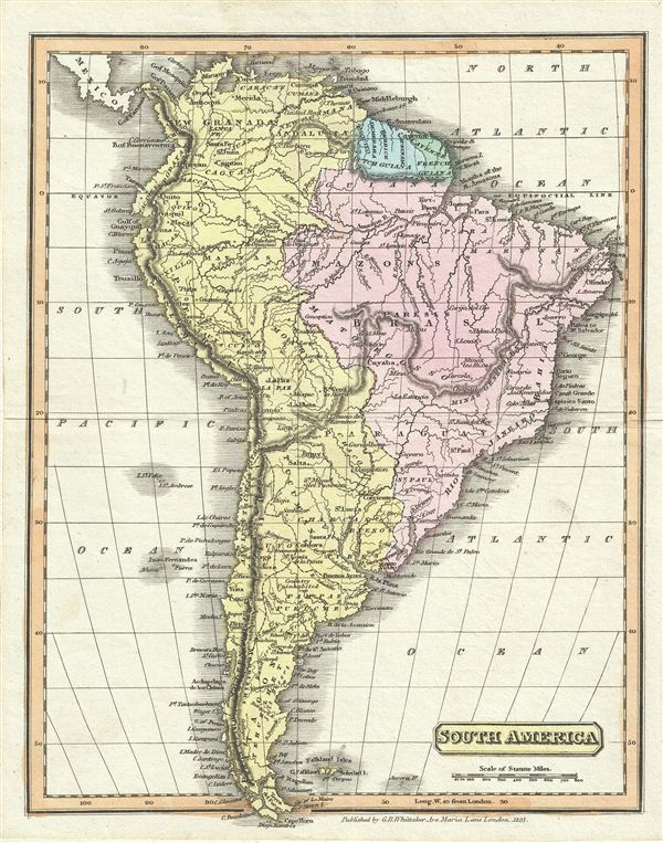

Copyright © 2024 Geographicus Rare Antique Maps | Geographicus Rare Antique Maps
This copy is copyright protected.
Copyright © 2024 Geographicus Rare Antique Maps