This copy is copyright protected.
Copyright © 2024 Geographicus Rare Antique Maps
1957 U.S. Air Force Aeronautical Map of Yap Island, Caroline Islands, Pacific
YapIsland-usaf-1957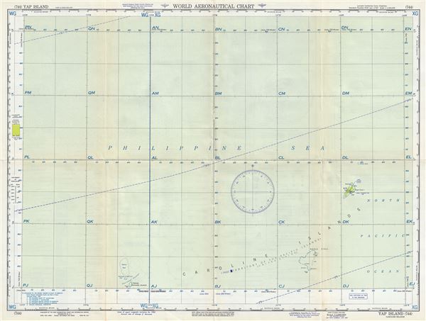

Copyright © 2024 Geographicus Rare Antique Maps | Geographicus Rare Antique Maps
This copy is copyright protected.
Copyright © 2024 Geographicus Rare Antique Maps