This copy is copyright protected.
Copyright © 2024 Geographicus Rare Antique Maps
1874 Coutaut Wine Map of the Gironde (Bordeaux, Medoc) w/ Vineyards
BordeauxWineMapMedoc-coutaut-1872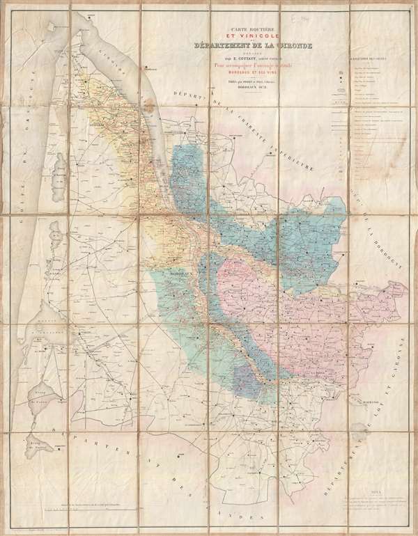

Copyright © 2024 Geographicus Rare Antique Maps | Geographicus Rare Antique Maps
This copy is copyright protected.
Copyright © 2024 Geographicus Rare Antique Maps