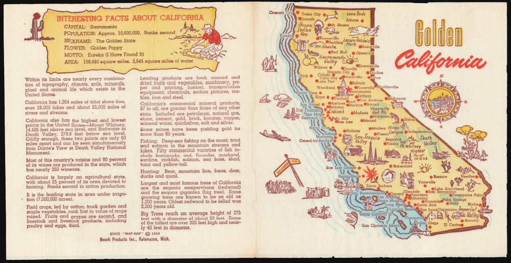
This is a 1954, 'Map-Nap' of the state of California from an obscure but fascinating national series of placements.
A Closer Look
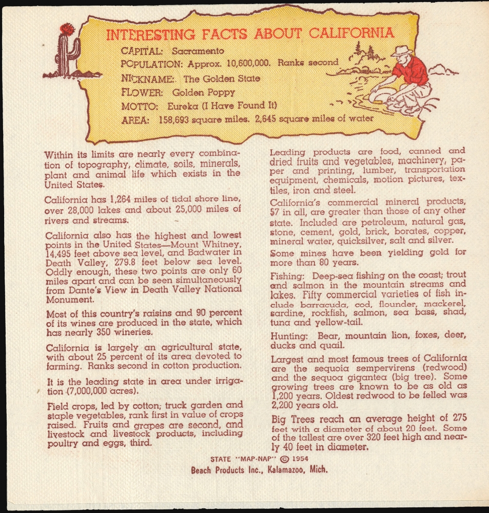
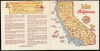
This colorful map, printed on a napkin, marks principal cities, and is decorated pictorially with beach parties, fishing scenes, depictions of Hollywood film shoots, and pictures of California's flora, fauna, and produce. A battleship cruises off the coast of San Diego. A Native American is pictured near the Hoopa Indian Reservation; west of Mount Shasta, a copse of Sequoias is pictured. Oil fields, observatories, farms and deserts are depicted. A handful of California's parks are shown, including Death Valley and Yosemite National Park. The reverse fold lists an array of 'Interesting Facts about California,' offering information of the state's size, population, produce, and industry. (For example, the reader learns that 'California is largely an agricultural state, with about 25 percent of its area devoted to farming...' and 'California also has the highest and lowest points in the United States - Mount Whitney, 14,195 feet above sea level, and Badwater in Death Valley, 279.8 feet below sea level. Oddly enough, these two points are only 60 miles apart and can be seen simultaneously from Dante's View in Death Valley National Monument.')A Full Series?
Beach Products appears to have produced this piece of Californiana as part of a series of 'State Map-Naps.' We are aware of examples not only dedicated to Florida, but also for Indiana, Michigan, California, and Minnesota. While it would be reasonable to assume a plan to produce a 'Map Nap' for every state in the Union, we have seen no others on the market, and it may be that the project was cut short.Publication History and Census
This map was printed by Beach Products Inc. of Kalamazoo, Michigan, having been copyrighted in 1954. (Beach Products were a paper goods company less known for their maps and more for their napkins.) We see no examples of the California Map-Nap in OCLC, but there is a single listing for another in the series (Michigan: Water Wonderland) in the collection of the Library of Michigan.
Cartographer
Beach Products, Inc. (1940s - 1960s) was an American paper goods company based in Kalamazoo, Michigan. Incorporated in 1941 and running a factory employing 50 workers, they appear to have focused primarily on printed napkins, paper plates, and cups, on a variety of themes (a 1957 advertisement touts such seasonal themes as 'Pumpkin Designs' and 'Singing Cats.' Between 1954 and 1956, their offerings included a series of state maps, printed to both full size dinner napkins and smaller format cocktail napkins: these 'Map-Naps' featured a map of a given state on the forward fold, whilst the reverse fold contained an array of 'Interesting Facts' about the state portrayed. Some of these, notably the Map Nap dedicated to Texas, included further material, with all four folds containing entertaining content. While it would be natural to assume at least a plan to present a Map Nap for every state of the Union, we have identified only a handful to have survived. Given the purpose of the average napkin, it is only to be expected that these survive poorly, and it may be that many are lost to posterity. More by this mapmaker...
Very good. Some wear and toning at folds.