This copy is copyright protected.
Copyright © 2024 Geographicus Rare Antique Maps
1941 Vichy French Pictorial Propaganda Map of the French Empire
EmpireDerriereMarechal-jmjf-1941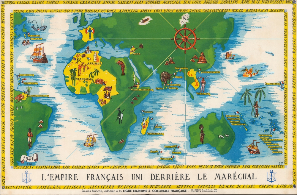

Copyright © 2024 Geographicus Rare Antique Maps | Geographicus Rare Antique Maps
This copy is copyright protected.
Copyright © 2024 Geographicus Rare Antique Maps