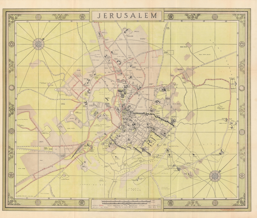
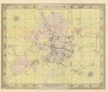
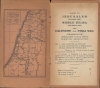
A large-scale c. 1940 map of Jerusalem by Clifford Holliday, issued for the Young Men's Christian Association of Jerusalem. It provides an overview of the city's ancient and modern architecture during the Mandate period.
A Closer Look
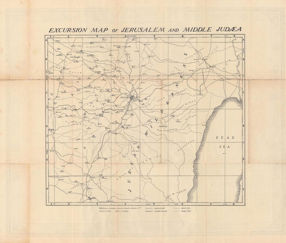
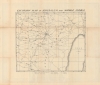
Oriented towards the northwest, the map covers both the Old City and the surrounding region, marking out important religious sites, as well as more recent buildings such as hotels, schools, consulates, government buildings (including the Municipal Offices near center, designed by Holiday himself), and the Y.M.C.A. building. Circled numbers correspond to a full index in the accompanying booklet. Developed areas are differentiated from unbuilt areas with shading. Bus routes are indicated with red lines and points of elevation are given throughout. A circle surrounding the Old City denotes a one-mile radius from the city center. The verso provides an 'excursion map' stretching as far as Hebron and the Dead Sea and including information on roads, railways, and paths, emphasizing historical and archaeological sites of interest to Christians.Mandatory Jerusalem (1917 - 1947)
The British captured Jerusalem from the Ottomans on December 11, 1917, drastically altering the historical trajectory of the city. Under the British 'Mandate,' the city grew significantly, especially outside of the Old City, and took on many characteristics of British imperial outposts elsewhere; new public institutions (universities, hospitals) were built and new regulations put into place around urban planning and architecture.
However, the British also had to contend with the maddening issue of inter-communal violence. The Balfour Declaration had all but required the Mandate to encourage the immigration of Jews from Europe and elsewhere, a disproportionate number of whom settled in Jerusalem (note the number of Zionist organizations' buildings here). Even before the Mandate, Jewish migrants had settled in the city in significant numbers, but Ottoman land records were spotty, leaving the British with the task of sorting out competing property rights.
The result was that the Mandate period was consumed with policing violence between Jews and Arabs, as well as supporting Zionism in principle while also opposing the more ardent, armed Zionist groups seeking an independent Israel. These contradictions in British policy set the stage for the post-World War II creation of the State of Israel and the continued disputes over its territory.Publication History and Census
This map was drawn by Clifford Holliday and published by the Young Men's Christian Association of Jerusalem around 1940. It is quite scarce, with only one institutional holding noted in OCLC, Duke University.
Cartographer
Albert Clifford Holliday (1897 - 1960) was a British urban planner and architect active in different parts of the British empire in the early-mid 20th century. He studied under Sir Charles Reilly and Patrick Abercrombie at the University of Liverpool. During the period 1922 - 1935, he was an advisor to the city of Jerusalem and the mandatory government of Palestine. During this period, he conceived an ambitious but ultimately unrealized plan for Jerusalem. Holliday also designed several buildings that were constructed in Palestine, including Jerusalem's Town Hall (now known as the Old Town Hall). Outside of Palestine, he was involved in designing the University of Ceylon and the Stevenage New Town. More by this mapmaker...
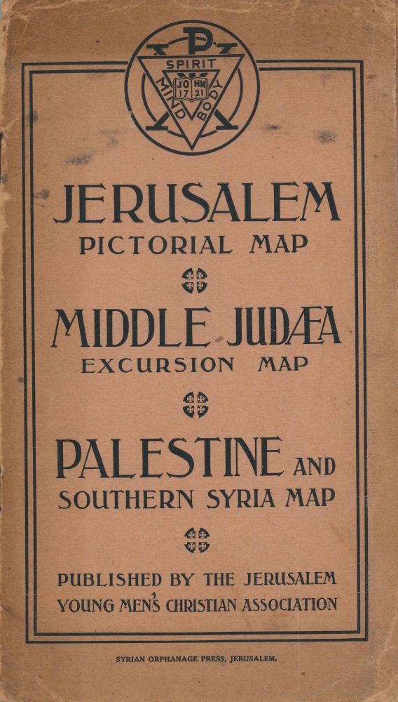
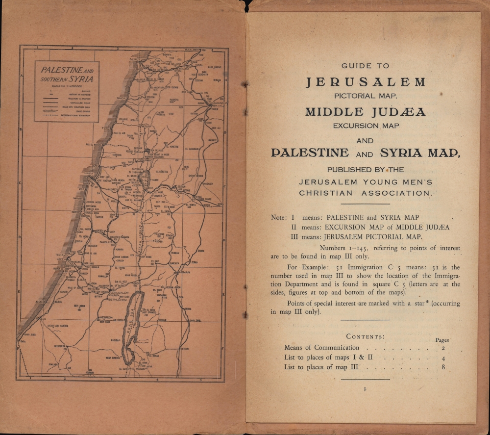
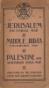
Very good. Wear along fold lines. Accompanied by original cover and booklet (inside of cover contains a third map).
OCLC 33032802.