This copy is copyright protected.
Copyright © 2024 Geographicus Rare Antique Maps
1932 Survey of India Map of Western Nepal
NepalSudurpashchim-surveyofindia-1932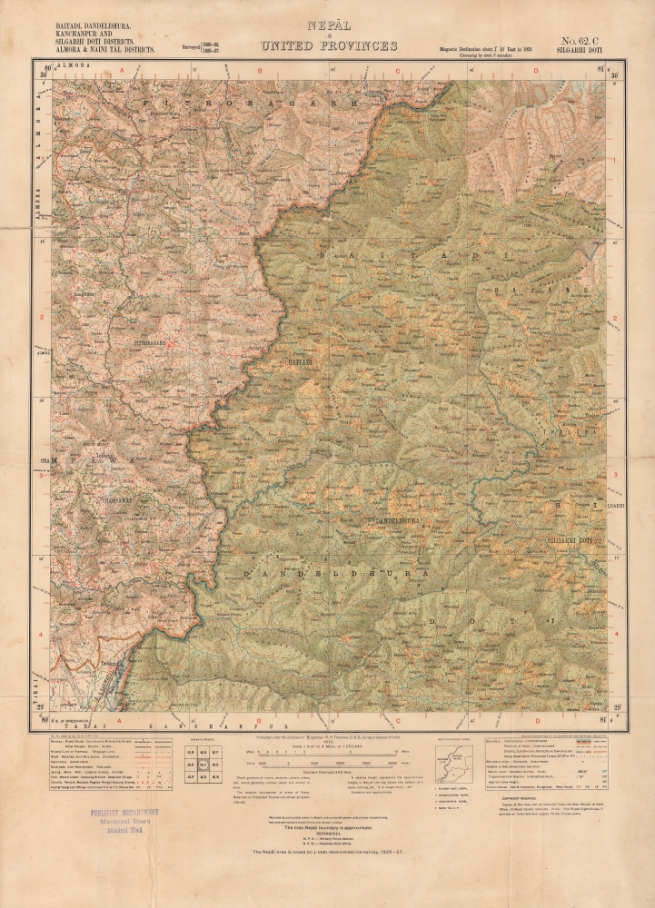

Copyright © 2024 Geographicus Rare Antique Maps | Geographicus Rare Antique Maps
This copy is copyright protected.
Copyright © 2024 Geographicus Rare Antique Maps