This item has been sold, but you can get on the Waitlist to be notified if another example becomes available, or purchase a digital scan.

1700 Wells Map of Spain and Portugal

NewMapSpain-wells-1700
$150.00
A New Map of Spain and Portugal. Showing their Principal Divisions, Chief Cities, Townes, Ports, Rivers, Mountains, etc. - Main View
Processing...

1700 Wells Map of Spain and Portugal

NewMapSpain-wells-1700

Beautiful 18th century map of Spain and Portugal.

Title


A New Map of Spain and Portugal. Showing their Principal Divisions, Chief Cities, Townes, Ports, Rivers, Mountains, etc.
  1700 (undated)     15 x 20 in (38.1 x 50.8 cm)     1 : 3000000

Description


This is a 1700 Edward Wells map of Spain and Portugal. The map depicts the Iberian Peninsula, where both Spain and Portugal and located, from the Bay of Biscay on the top to Morocco on the bottom and from the Atlantic Ocean on the left to the Mediterranean Sea on the right, as well as part of southern France. The map divides both Portugal and Spain into regions, including Granada, Murcia, Valencia, Catalonia, Aragon, Navarre, and Galicia in Spain, and Algarve and Estremadura in Portugal. Cities abound in both countries, including Lisbon and Coimbra in Portugal and Madrid, Barcelona (Barcellona), Bilbao, Murcia, Valencia, and Seville in Spain. Perpignan, France is depicted as well. The map also depicts Majorca, Minorca, and Ivica in the Mediterranean.

This map was produced by Edward Wells and engraved by Robert Spofforth. It was included in Wells' A New Sett of Maps both of Ancient and Present Geography, published in London in 1712.

CartographerS


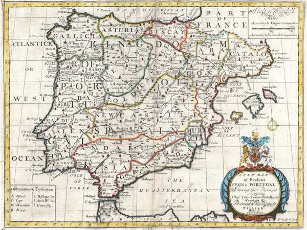
Edward Wells (1667 - 1727) was an English mathematician, geographer, and classical scholar based at Christ Church College, Oxford. Wells trained for the ministry but quickly found himself unsuited to religious life and instead applied for an academic position at Oxford, where he authored numerous well respected works on a wide range of mathematical and scientific topics. He tutored Prince William, the sickly son of Queen Anne, who was likely about 11 at the time this map was prepared. Wells dedicated nearly all of the maps in his atlas, A New Sett of Maps both of Ancient and Present Geography, to the young prince - quite possibly posthumously, as William died in July of 1700 shortly prior to the publication of the atlas. Nonetheless, Wells' geography proved popular and was published in number editions well into the 1730s. More by this mapmaker...


Robert Spofforth (fl. 1700 - 1707) was an English engraver and printseller known primarily for his frontispieces. He contributed nine engravings to Edward Wells’ A New Sett of Maps both of Ancient and Present Geography, including the frontispiece of the atlas. He was thought to have been a student of the engraver Simon Gribelin. He was also known for his portraits, namely those of Queen Anne and Prince George. Learn More...

Source


Wells, E., A New Sett of Maps both of Ancient and Present Geography, (London, T. w. Bonwicke) c. 1712.     A New Sett of Maps both of Ancient and Present Geography was published by Edward Wells in various editions between 1701 and 1730. The publication contained some 40 maps all of which were dedicated to Prince William, Duke of Gloucester. Wells tutored the young prince at Christchurch, Oxford and seems to have developed a close relationship with him. At just 11 years of age, William died in 1700 and never had the opportunity to see the published work that he inspired. The atlas was intended for educational purposes with a focus on school use.

Condition


Good. Some soiling, wear, and centerfold damage. Narrow margins as issued. Backed on archival tissue.

References


OCLC 947867417.