This copy is copyright protected.
Copyright © 2024 Geographicus Rare Antique Maps
1944 U.S. Navy Map of Pearl Harbor, Hawaii, Ship Moorings and Navigation Aids
PearlHarborMoorings-usnavy-1944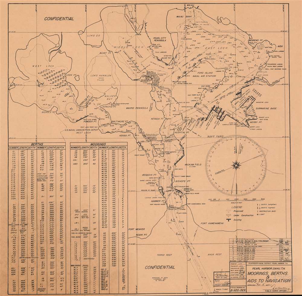

Copyright © 2024 Geographicus Rare Antique Maps | Geographicus Rare Antique Maps
This copy is copyright protected.
Copyright © 2024 Geographicus Rare Antique Maps