This copy is copyright protected.
Copyright © 2024 Geographicus Rare Antique Maps
1845 General Land Office Map of Wisconsin
PublicSurveysWisconsin-landoffice-1845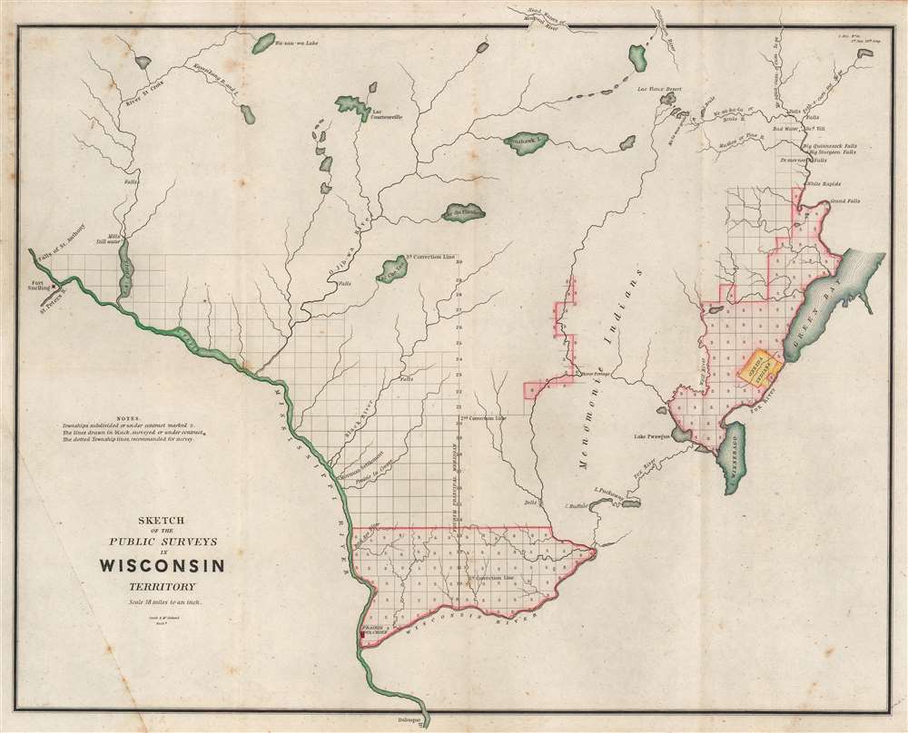

Copyright © 2024 Geographicus Rare Antique Maps | Geographicus Rare Antique Maps
This copy is copyright protected.
Copyright © 2024 Geographicus Rare Antique Maps