
American Geographical Society (AGS)
The American Geographical Society (AGS) (1851 - Present) is an organization founded in in New York City 1851 by thirty-one New Yorkers. Organized to search for the lost Franklin Expedition, the search for Franklin proved unsuccessful. However, the AGS remained, and members played roles in surveying for the transcontinental railway and supported continued exploration efforts. Its main areas of focus were the Arctic, Antarctic, and Latin America and any exploration it sponsored was required to produce tangible scientific results. Today, after nearly 175 years, the AGS is still in operation and focuses its energy on promoting geographical education.
AKA: AGS
First flight over Antarctica.
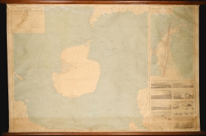
Wilkins-Hearst Antarctic Expedition 1928-1929. Map of the Antarctic.
$5,000.00
Acquire
- Digital Map Information
- Suitable for large format printing
- Full resolution TIFF file
- ICC color profile embedded
- Delivered instantly via download link
A rare 1929 American Geographical Society wall map of Antarctica issued to celebrate the 1928-29 Wilkins-Hearst Expedition (1928 - 29), wherein George Hubert Wilkins (1888 - 1958) accomplished the first Antarctic flight, revealing some 1000 miles of uncharted territory. (more details)
Aviation and Polar Exploration.
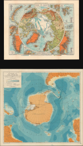
Physical Map of the Arctic. / Bathymetric Map of the Antarctic / Two Polar Maps with Notes on Recent Polar Exploration.
$950.00
Acquire
- Digital Map Information
- Suitable for large format printing
- Full resolution TIFF file
- ICC color profile embedded
- Delivered instantly via download link
This is a pair of 1929 maps of the Arctic and Antarctic, respectively, published in a 1930 report of the American Geographical Society to illustrate the significance of aviation to Polar Exploration. At the time, they represented the most detailed and up-to-date maps of the polar regions. These maps are accompanied by a report titled Brief History of Polar Exploration since the Introduction of Flying. (more details)
The First Byrd Expedition's discoveries.
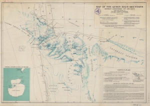
Map of the Queen Maud Mountains Between Longitudes 175° and 135° W. From the Surveys of The Byrd Antarctic Expedition.
$450.00
Acquire
- Digital Map Information
- Suitable for large format printing
- File Size: 68.52 MB
- File Type: ZIP / TIFF
- ICC color profile embedded
- Delivered instantly via download link
This is a 1931 American Geographical Society map of the Queen Maud Mountains, Antarctica. Named by Roald Amundsen after the Norwegian queen Maud of Wales, the Queen Maud Mountains are a group of mountains, ranges, and subordinate features of the Transantarctic Mountains. They are situated between the Beardmore and Reedy Glaciers and run from the Ross Ice Shelf to the Antarctic Plateau. (more details)
Under the Antarctic ice.
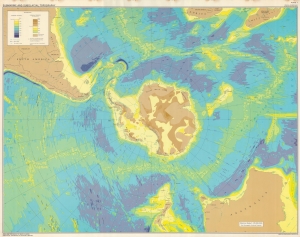
This is a 1972 American Geographical Society map of Antarctica depicting submarine and subglacial topography. Compiled by geologist Bruce Heezen and glaciologist Charles Bentley, this revolutionary map reveals the bizarrely shaped continent hidden under miles of Antarctic ice. (more details)