
Craven, Tunis Augustus Macdonough
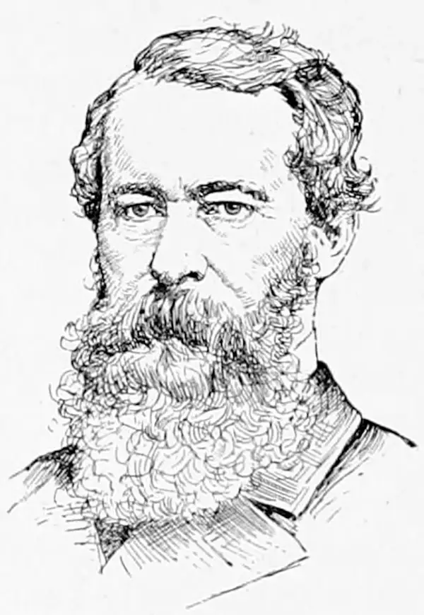
Tunis Augustus Macdonough Craven (January 11, 1813 - August 5, 1864) was a U.S. Navy officer and surveyor with the U.S. Coast Survey. He was born in Portsmouth, New Hampshire in a profoundly maritime environment, with his father having a naval background and operating a naval supply store and his mother being the daughter of Thomas Tingey, a U.S. Navy commodore who was a longtime commandant of the Washington Navy Yard. During his youth, Tunis Craven moved to Brooklyn when his father went to work at the New York Navy Yard. After attending Columbia College Grammar School, Craven joined the navy and was appointed an acting midshipman in 1829. From 1835 to 1843, he was assigned to the U.S. Coast Survey as a surveyor and promoted to lieutenant in 1841. He married Mary Carter, from a prominent Long Island family, in 1838 and had three children with her but Mary died in 1843, leaving Craven a widower. Afterwards, he married Marie L. Stevenson and had three additional children. Craven remained on active duty in the U.S. Navy and commanded the sloop-of-war Dale during the Mexican-American War. After the war, he spent a year at the U.S. Naval Observatory but spent most of the 1850s on a second stint with the Coast Survey, including a surveying expedition to scout a potential canal route through the Isthmus of Panama. At the start of the U.S. Civil War, Craven commanded the Tuscarora, shadowing and harassing Confederate ships in European waters. In 1863, Craven returned to the U.S. to command the Tecumseh, which was ultimately assigned to Admiral Farragut's fleet in Mobile Bay, where Craven was killed in battle on August 5 when the Tecumseh was struck by a torpedo and sank almost instantly with most of her crew. Tunis Craven's brother, Thomas Tingey Craven (1808 - 1887), also was a naval officer who served in the U.S. Civil War and managed the Mare Island Navy Yard near San Francisco after the war.
Gateway to Texas
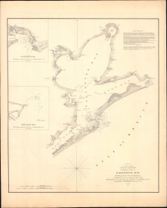
(I No. 2) Preliminary Sketch of Galveston Bay.
$450.00
Acquire
- Digital Map Information
- Suitable for large format printing
- Full resolution TIFF file
- ICC color profile embedded
- Delivered instantly via download link
This is a rare, separately issued example of the U.S. Coast Survey's 1851 maritime map, or nautical chart, of Galveston Bay, Texas. It depicts the city and its surrounding waters as Galveston emerged as Texas's primary port, commercial hub, and maritime gateway. (more details)