
Döll Sauer, Friedrich Wilhelm (Guillermo Döll)
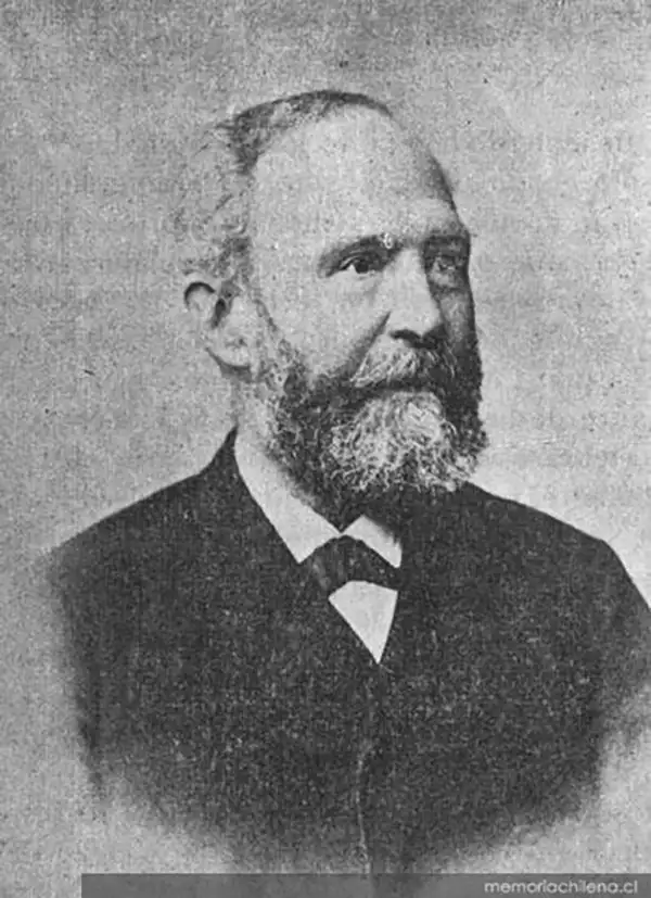
Friedrich Wilhelm Döll Sauer (Guilermo Döll; 1823 - 1910) was a German - Chilean engineer and surveyor best known for his work on the 1853 - 54 scientific expedition to explore and map the Atacama Desert, led by Rodolfo Amando Philippi. Döll was born in Hersfeld (now Bad Hersfeld) in Hesse and attended the Kassel Polytechnical School (the basis for today's University of Kassel), where he was a student of Philippi. Döll migrated to Chile in 1845 and settled in Valdivia, where the Chilean government had arranged for several thousand Germans to emigrate. Döll worked as a translator and took on various odd jobs, eventually gaining a bureaucratic posting, while also developing an interest in local historical sites and geology. He also reconnected with Philippi, who had fled Germany in the aftermath of the failed Revolutions of 1848, moved to Chile, and become the director of a high school in Valdivia. In 1852, Döll undertook scientific explorations of the Lake Llanquihue area with Rodolfo Amando Philippi and his brother Bernhard Eunom Philippi (1811 - 1852), also a naturalist and explorer as well as a successful merchant. In late 1853 to early 1853, he was surveyor and assistant to Rodolfo Amando Philippi on his expedition to the Atacama Desert. After the expedition, Döll taught at the Liceo de Literario in Valdivia and collaborated with Armando Pissis on a topographic and geographic map of Chile. He then served as the Director of the School of Arts and Trades (Escuela de Artes y Oficios) in Santiago, predecessor to the University of Santiago. In 1849, Döll married Agustina de la Fuente y Flores, with whom he had at least four children. Döll's wife died young, at age 32 or 33 in 1866, and he seemingly never remarried. Two species of plant in the extreme Atacama environment were named in his honor: Hoffmannseggia doellii and Peperomia doellii.
AKA: Guillermo Döll
First specific map of the Atacama Desert.
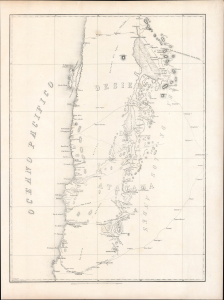
[Desierto De Atacama].
$1,500.00
Acquire
- Digital Map Information
- Suitable for large format printing
- Full resolution TIFF file
- ICC color profile embedded
- Delivered instantly via download link
Likely the first specific map of Chile's Atacama Desert, this is Wilhelm Döll's 1854 survey of Atacama, prepared during Rodolfo Amando Philippi's government-sponsored expedition into the largely uncharted interior. Extending from Cobija to Copiapó and eastward across salt flats, volcanic ranges, mining districts, and high Andean routes, it captures the Atacama at a pivotal moment—when scientific exploration, indigenous geography, silver discoveries, and competing Chilean and Bolivian territorial ambitions were beginning to transform the desert. Both a record of extraordinary fieldwork under conditions of extreme aridity and a harbinger of the mineral development and international conflict that followed, the map helped establish the geographical foundations for Chile's expanding interest in its northern frontier. (more details)