
Evans, Richard Tranter
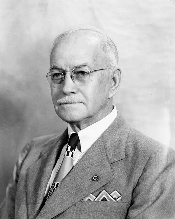
Richard Tranter Evans (July 1, 1881 - September 1, 1966) was a long-time topographic engineer with the U.S. Geological Survey and a protégé of noted geologist François Matthes (1874 - 1948). Among other accomplishments, he is credited with helping survey the Grand Canyon, including a summit that now bears his name as a result (Evans Butte). Evans is perhaps best known for applying names from Arthurian Legend to features in and around the Grand Canyon, the source of the unusual names for King Arthur Castle, Guinevere Castle, Elaine Castle, Lancelot Point, and others. Evans also did important early work in the Pikes Peak region. In the 1920s, he went to work for the National Park Service, serving as Acting Superintendent of Zion and Hawaii (now Hawai'i Volcanoes) National Parks. By the early 1930s, Evans had returned to Washington, D.C. and the Geological Survey, where he co-authored a history of the Survey's Topographic Branch (not published until 2009) among other works. After retiring in 1951, Evans remained active in professional circles, serving as the secretary and executive treasurer for the American Congress on Surveying and Mapping, among other positions.
'A vast wilderness of rocks in a sea of light'.
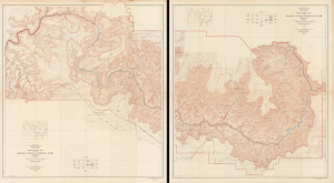
Topographic Map of the Grand Canyon National Park Arizona (West Half). / Topographic Map of the Grand Canyon National Park Arizona (East Half).
$750.00
Acquire
- Digital Map Information
- Suitable for large format printing
- File Size: 181.53 MB
- File Type: ZIP / TIFF
- ICC color profile embedded
- Delivered instantly via download link
This is an expansive two-sheet, large-format, 1948 topographic wall map of the Grand Canyon National Park, issued by the U.S. Geological Survey. Based on surveys undertaken in the early 20th century, it captures the canyon in a period when it was transitioning from a storied but still largely inaccessible national treasure to a tourist site for the masses, aided by the completion of the Grand Canyon Railroad and early highways. (more details)