
Fuller, Thomas
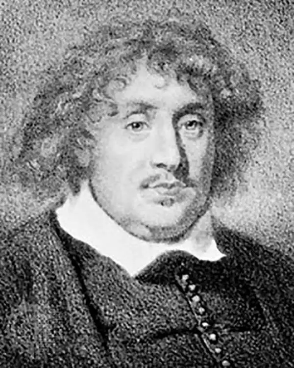
Thomas Fuller (1608 - August, 16, 1661) was an English historian and Anglican clergyman. Fuller was born in Northamponshire, England and was educated at Queens College, Cambridge. A prodigal student, Fuller was describe by contemporary John Aubrey as "a boy of pregnant wit". He entered the Anglican clergy and became well known throughout England for his prodigious speaking skills, which kept him moving from town to town for much of his career. Fuller is also significant as he was one of the first Englishmen able to support himself solely through the publican and sale of his written works, which include The Worthies of England, The Historie of the Holy Warre, The Holy State and the Prophane State and his prominent geography of the Holy Land, A Pisgah-Sight of Palestine. The Oxford Dictionary of National Biography describes Fuller's personality,
His power of fascinating posthumous as well as contemporary friends is easily explicable. His unfailing playfulness, the exuberant wit, often extravagant, rarely ineffective and always unforced, is combined with a kindliness and simplicity which never fails to charm. If not profound, he is invariably shrewd, sound-hearted, and sensible. He tells a story admirably, as Lamb observed, because with infectious enjoyment. His humour is childlike in its freedom from bitterness. His quick sense of the ridiculous, combined with a calm and cheerful temperament, made fanaticism impossible. It tempered his zeal instead of edging his animosities. Moderation was therefore his favourite virtue, or 'the silken chain running through the pearl-string of all the virtuesFollowing an illustrious career, Fuller contracted Typhus fever and died at his home in Covent Garden on the 16th of August, 1661. Fuller was survived by several children from his two marriages.
First specific published map of Amelia Island.

Plan of Amelia Island In East Florida. / A Chart of The Entrance Into St. Mary's River. / A Chart of The Mouth of Nassau Rivers. / To the Right Honourable John Earl of Egmont, and c. This Plate is most humbly Inscribed by his Lordships most Obedient Humble Servant Willm. Fuller.
$4,000.00
Acquire
- Digital Map Information
- Suitable for large format printing
- DPI: 600
- File Size: 733.91 MB
- File Type: ZIP / TIFF
- ICC color profile embedded
- Delivered instantly via download link
This is Thomas Jeffery's 1770 map of Amelia Island, considered the first specific published chart of that part of British East Florida. The map is based upon the William Gerard De Brahm and William Fuller surveys, which followed shortly after the 1763 British takeover of Florida. It illustrates the significance of Amelia's natural deep-water harbor, long a haunt of pirates, slavers, and smugglers, and details British attempts by John Perceval, 2nd Earl of Egmont, to establish a plantation colony. (more details)