
Giovio, Paolo
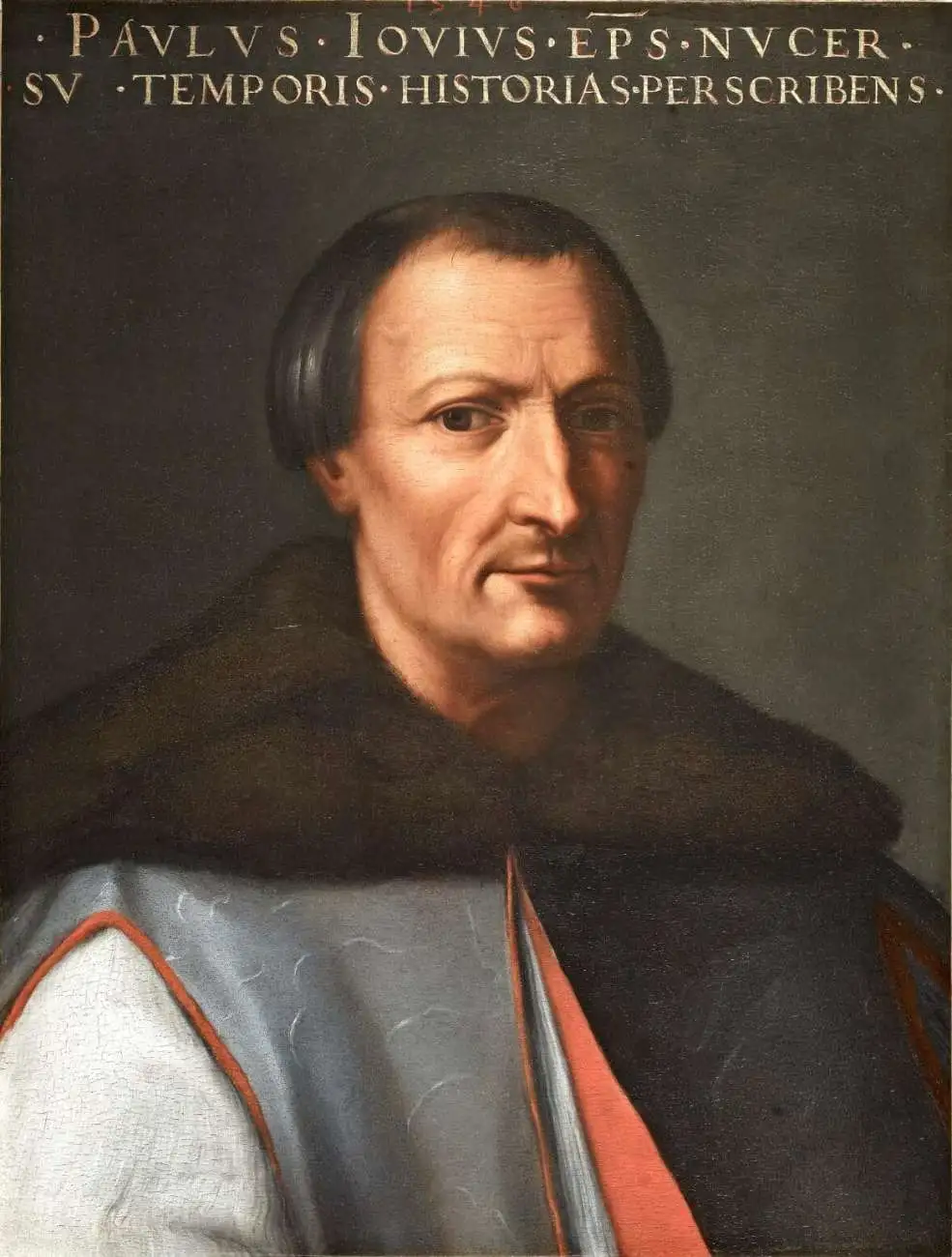
Paolo Giovio (April 19, 1483 - December 11, 1552) was an Italian historian, biographer, and prelate. He initially trained as a physician in Pavia and Padua, completing his schooling in 1511. He worked as a physician in Como, but fled the plague to Rome in 1513, where he found a position in the papal court. While he began to study and write history, he continued working in medicine: in 1517, he was made personal physician for Cardinal Giulio Giuliano de Medici, future Pope, who would take the name Clement VII in 1523. His skill as a writer was not lost on his patron: the Pope assigned him to accompany Muscovite diplomat Dmitry Gerasimov (Дмитрий Герасимов, c. 1465 - c. 1535) on his 1525 embassy to Rome, on the strength of which Giovo would record a description of Muscovite Geography, resulting in a seminal map which would form one of the pillars of the early mapping of Russia. Giovio would, in 1528, become bishop of Nocera de Pagani. Giovo returned to Como in 1536, where he flourished as a collector of art, antiquities, and curiosities from the New World. He sought but was denied the title of Bishop of Como in 1549. He died in Florence in 1552.
Among the Earliest Acquirable Contemporary Maps of Russia.
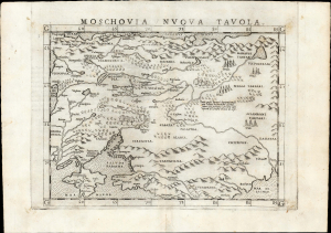
Moschovia Nuova Tavola.
$750.00
Acquire
- Digital Map Information
- Suitable for large format printing
- Full resolution TIFF file
- ICC color profile embedded
- Delivered instantly via download link
This is the 1561 first Ruscelli edition of Giacomo Gastaldi's map of Muscovy, one of the earliest acquirable modern maps of Russia. It is among the earliest obtainable maps to include Paolo Giovio's geography from the Muscovite Embassy. (more details)
Among the Earliest Acquirable Contemporary Maps of the Baltic Coast.
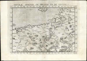
Tavola nuova di Prussia et di Livonia.
$650.00
Acquire
- Digital Map Information
- Suitable for large format printing
- Full resolution TIFF file
- ICC color profile embedded
- Delivered instantly via download link
This is the 1561 first Ruscelli edition of Giacomo Gastaldi's map of the Baltic Coast of Prussia and Livonia, now the coastline of Poland, Lithuania, Latvia, and Estonia. It is among the earliest detailed maps of this part of the world based on contemporary geographical knowledge, particularly with respect to the Gulf of Riga. (more details)