
Güssefeld, Franz Ludwig
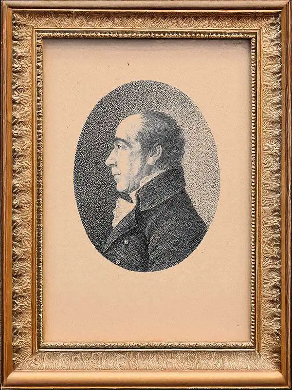
Franz Ludwig Güssefeld (December 6, 1744 - June 17, 1807) was a German cartographer and map publisher active in Weimar in the second half of the 18th and early 19th centuries. Güssefeld was born in Osterburg and exhibited an early talent for geography. He initially worked as a building director in Königsberg, Prussia, where he surveyed the Noteć River. He then served as a forest ranger in Saxe-Weimar. There, he met geographer Anton Friedrich Büsching (1724 - 1793), whose geographical studies he compiled into a map of Brandenburg published by Homann Heirs (Homann Erben). The map was a great success due to its accuracy and spurred a revival of the venerable but floundering Homann Heirs publishing house. Güssefeld went on to produce more than 100 maps, most published by Homann Heirs. His son-in-law, Johann Valentin Blaufuß. (1769 - 1850) was also a prominent surveyor and cartographer.
We're Still Hunting
We don't yet have any maps by this cartographer in stock — but that's more a matter of timing than availability. New acquisitions arrive regularly, and pieces from this maker do surface. Check back soon, or reach out if you're specifically looking for one — we're always happy to keep an eye out.
Have a map by this cartographer you're looking to sell? We'd love to hear from you.