
Hoempler Urban, Karl Emil Cuno
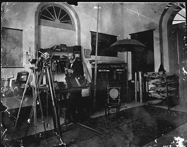
Karl Emil Cuno Hoempler Urban (January 29, 1864 - December 15, 1936) was a Peruvian-German cartographer and surveyor. Heompler was born in Königsberg, Germany. It is not clear when he emigrated to Peru, but by the 1876 he was working with the Peruvian Servicio Geográfico del Ejército hoy Instituto Geográfico Militar. He appears to have been based alternatively in Lima and Iquitos, a jungle port on the Amazon. He made maps of eastern Peru and western Brazil, usually of the Amazon region, including a 10-foot-long map of the Amazon River from Iquitos to Manaus.
Amazon navigation at the height of the Rubber Boom.

Plano del Rio 'Amazonas' desde Iquitos hasta Manaos: levantado por orden del Señor Prefecto del Departamento de Loreto Coronel D. Pedro Portillo Segun el Plano proporcionado por la Compañía de Vapores 'Booth and Co. Iquitos - Liverpool'
$2,000.00
Acquire
- Digital Map Information
- Suitable for large format printing
- File Size: 24.55 MB
- File Type: ZIP / TIFF
- ICC color profile embedded
- Delivered instantly via download link
This is a 1906 Carlos Hoempler and Pedro Portillo Silva 10 1/2 foot-long map covering over 1,000 miles of the Amazon River, from Iquitos, Peru, to Manaus, Brazil - highlighting a primary artery of the Amazon Rubber Boom (1879 - 1912). When issued, it was by far the most detailed map of this part of the Amazon River yet produced, illustrating navigation and commerce in one of the world's most extreme climates. (more details)