
Maffitt, John Newland
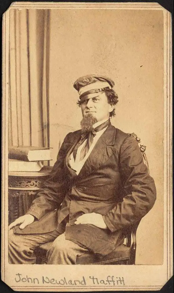
John Newland Maffitt (February 22, 1819 - May 15, 1886) was a naval officer with the U.S. and later Confederate States of America Navies. He was born at sea near New York City as his parents were immigrating from Ireland. When Maffitt was five, his family relocated to North Carolina. He entered the U.S. Navy in February 1832 as a midshipman, serving in the West Indies and the Mediterranean. In 1842, he was ordered to work for the U.S. Coast Survey, where he would spend more than fourteen years undertaking hydrological surveys up and down the East Coast. His exceptional precision in mapping complex Southern waterways - including the vital harbors of Savannah, Wilmington, and Charleston (where a channel was later named in his honor) - earned him professional praise from Survey Superintendent A.D. Bache. This deep, firsthand understanding of the intricate networks of shoals, inlets, and sandbars would unexpectedly provide him with a lethal tactical advantage in the years to follow. From 1857, Maffitt was placed in command of the USS Dolphin and later the Crusader, ships tasked with hunting down pirates and slavers. Maffitt ably carried out these duties despite his own status as a slaveowner and later service for the Confederacy. With the outbreak of the Civil War in 1861, Maffitt resigned his U.S. Navy commission to join the Confederacy, ultimately earning the moniker 'Prince of Privateers.' Leveraging the unparalleled geographical knowledge he gained during his years with the Coast Survey, he became one of the South's most notorious and successful blockade runners and commerce raiders. As the commander of the cruiser CSS Florida, Maffitt masterfully evaded Union blockades, slipped into heavily guarded ports, and captured or destroyed dozens of merchant vessels, inflicting millions of dollars in damages to Union wartime commerce. Maffitt survived the war, choosing briefly to command British merchant ships before returning to North Carolina, where he spent his final years farming and writing.
A blockade-runner's chart.
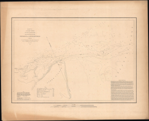
1851 U.S. Coast Survey Map or Chart of the Entrance of Savannah River, Georgia.
$350.00
Acquire
- Digital Map Information
- Suitable for large format printing
- Full resolution TIFF file
- ICC color profile embedded
- Delivered instantly via download link
This is an 1851 U.S. Coast Survey nautical map or chart of the entrance of the Savannah River, including Tybee Island, Cockspur Island, and Fort Pulaski, Georgia. This is a rare, separately-issued example, printed on thicker paper for durability. (more details)