
Marzolla, Benedetto
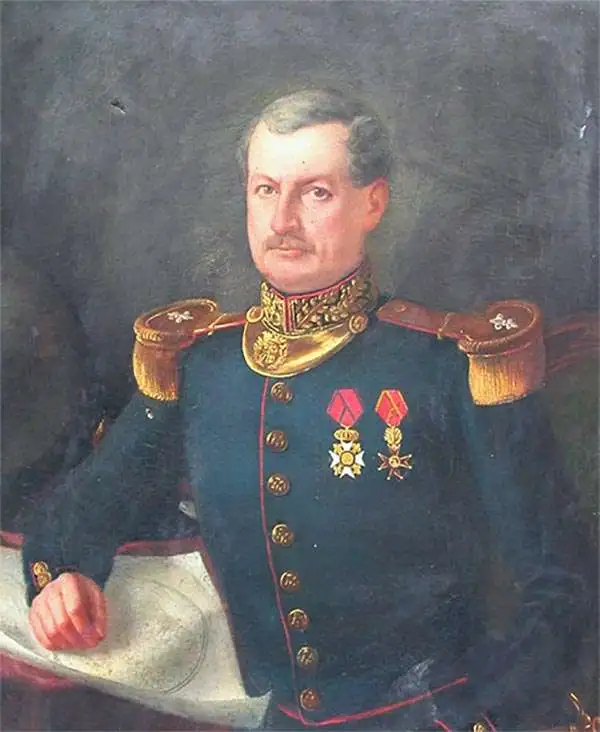
Benedetto Marzolla (March 14, 1801 - May 10, 1858) was an Italian cartographer and geographer. Born in Brindisi, Italy, Marzolla attended local schools before moving to Naples in 1819 to study military engineering. He became a military officer under the Bourbon regime and quickly became recognized for his skill in cartography. He joined the Royal Topographical Office in 1821 as a first lieutenant and worked in that agency in one way or another until his untimely death from apoplexy. Over the course of his career, Marzolla created over 170 maps, including topographic, geographic, and chorographic works.
19th century colonialism in the Caribbean.
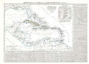
Arcipelago delle Antille ossia Indie Occidentali. (America.)
$500.00
Acquire
- Digital Map Information
- Suitable for large format printing
- Full resolution TIFF file
- ICC color profile embedded
- Delivered instantly via download link
This is an 1850 Benedetto Marzolla Italian map of the Caribbean Sea, or West Indies. Coverage extends from the U.S. Gulf Coast to northern South America. Color coding associates European colonial influence with individual islands. A statistical table, situated in the upper right, provides population and area of each island. Also, it acts as the color key: British colonies (red), Spanish colonies (yellow), and Dutch colonies (green). French and Danish colonies are also marked with shades of red, making differentiation between British, French, and Danish colonies slightly difficult. Italian text appears along the right side and bottom of the map and provides a 'general description' of the region along with more detailed descriptions of Cuba, Haiti, Jamaica, and Puerto Rico. (more details)
Foregrounding the Newly Recognized United Provinces.
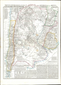
Provincie Unite del Rio de la Plata, Argentina, Chili, Uruguay, e Paraguay.
$550.00
Acquire
- Digital Map Information
- Suitable for large format printing
- File Size: 28.46 MB
- File Type: ZIP / TIFF
- ICC color profile embedded
- Delivered instantly via download link
This is an 1856 Benedetto Marzolla map focusing on the United Provinces of the Rio de la Plata: this included much of Chile, Uruguay, and Paraguay, as well as parts of Brazil and Bolivia. The map is characteristic of Marzolla's work in its abundant notation. (more details)