
Matthes, François Émile
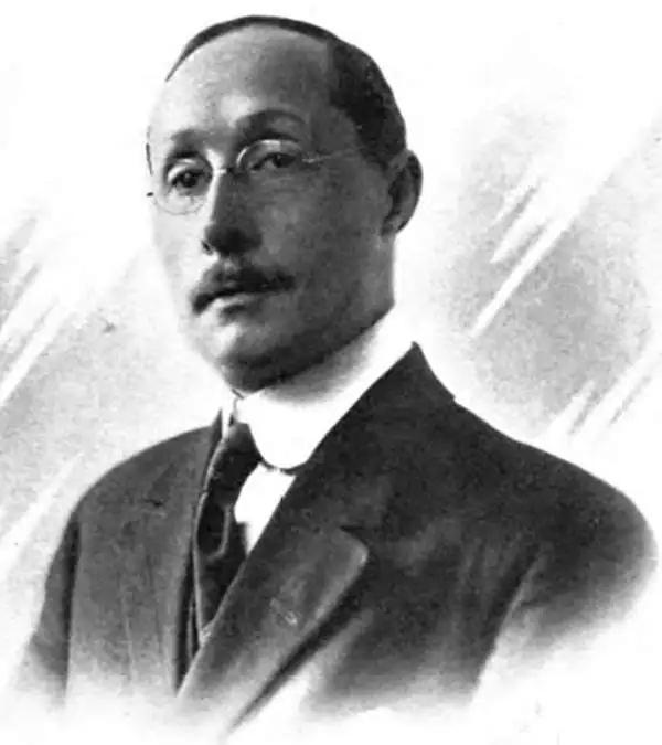
François Émile Matthes (March 16, 1874 - June 21, 1948) was a Dutch-American geologist, glaciologist, and surveyor who mapped several remote areas of the American West for the U.S. Geological Survey in the early 20th century. Matthes was born in Amsterdam, where his father, Willem Ernst Matthes (1842 - 1906), was a partner in a major trading firm importing goods from the Dutch East Indies. Both François and his twin brother Gerard became deeply interested in geology at a young age, particularly when both were sent to live in the Alps to recover from malaria. Originally preparing to enter a German technical university, the brothers were persuaded by a visiting Harvard University professor to go to the United States instead, and both entered the Massachusetts Institute of Technology in 1891, where one of their professors who had worked with the U.S. Coast and Geodetic Survey steered them towards geodesy. Soon after graduation from MIT, François joined the U.S. Geological Survey, where he would spend the rest of his career. He was soon sent west, to Indian Territory (Oklahoma), Montana, Wyoming, and Arizona. Later in his career he worked in California (mapping the Yosemite Valley and, in the wake of the 1906 Earthquake and Fire in San Francisco, the San Andreas Fault) and Mount Rainier in Washington. From 1913, Matthes was tasked by the Geological Survey to study geomorphology, a long-time interest of his. He soon became a central figure in a long-running debate over the geomorphology of the Yosemite Valley, which he memorably dubbed 'the Incomparable Valley.' He contributed significantly to the understanding of the formation of the Yosemite Valley and to the importance of glaciers in geomorphology more broadly, and is credited for coining the term 'Little Ice Age' (though he applied it only to the Sierra Nevada and the Western U.S., not the entire globe). Later in his career, Matthes worked with the National Park Service to acquire data about the geology of the Sequoia National Park area and Mount Whitney. During both World Wars, he lent his geologic knowledge and linguistic skills to the military. By the end of his career, Matthes was an international expert on glaciers and geological history. He retired in June 1947 and moved to El Cerrito, California in the East Bay region of the San Francisco Bay Area, but died less than a year later. His ashes were spread in the Yosemite Valley, which had occupied so much of his life's attention and work.
'A vast wilderness of rocks in a sea of light'.
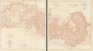
Topographic Map of the Grand Canyon National Park Arizona (West Half). / Topographic Map of the Grand Canyon National Park Arizona (East Half).
$750.00
Acquire
- Digital Map Information
- Suitable for large format printing
- File Size: 181.53 MB
- File Type: ZIP / TIFF
- ICC color profile embedded
- Delivered instantly via download link
This is an expansive two-sheet, large-format, 1948 topographic wall map of the Grand Canyon National Park, issued by the U.S. Geological Survey. Based on surveys undertaken in the early 20th century, it captures the canyon in a period when it was transitioning from a storied but still largely inaccessible national treasure to a tourist site for the masses, aided by the completion of the Grand Canyon Railroad and early highways. (more details)