
Peale, Albert Charles

Albert Charles Peale (April 1, 1849 - December 5, 1914) was a geologist, mineralogist, and member of the U.S. Geological and Geographical Survey of the Territories (also known as the Hayden Survey). He studied at Philadelphia's Central High School and trained to become a physician, earning a medical degree though never practicing medicine. In 1871, he joined Hayden and would spend most of the next thirty years with the Survey of the Territories and its successor, the U.S. Geological Survey. He later worked as a paleobotanist at the Smithsonian. Several natural features in Wyoming, Idaho, and Utah are named for him.
Early Survey of the Grand Valley,
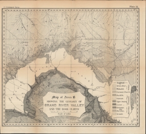
Map of Area B Showing the Geology of Grand River Valley and the Book Cliffs.
$150.00
Acquire
- Digital Map Information
- Suitable for large format printing
- File Size: 350.84 MB
- File Type: ZIP / TIFF
- ICC color profile embedded
- Delivered instantly via download link
A detailed 1876 U.S. Geological Survey map of Colorado River Valley in southwestern Colorado and southeastern Utah. At the time, this area was undergoing a demographic shift, as the native Ute people were displaced to make way for American miners and settlers. (more details)
Mormon interest.
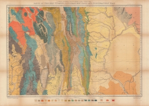
Parts of western Wyoming, southeastern Idaho and northeastern Utah.
$400.00
Acquire
- Digital Map Information
- Suitable for large format printing
- File Size: 55.15 MB
- File Type: ZIP / TIFF
- ICC color profile embedded
- Delivered instantly via download link
A brightly-colored 1878 geological map of the region around Bear Lake, on the border between Idaho, Utah, and Wyoming. It was produced by Albert Charles Peale and Henry Gannett for the U.S. Geological and Geographical Survey of the Territories (USGGST), the forerunner to the U.S. Geological Survey. (more details)
Surveying the frontier.
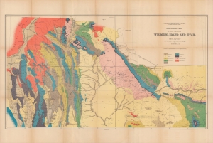
Geological map of portions of Wyoming, Idaho and Utah.
$400.00
Acquire
- Digital Map Information
- Suitable for large format printing
- File Size: 36.93 MB
- File Type: ZIP / TIFF
- ICC color profile embedded
- Delivered instantly via download link
A colorful 1878 geological map of the border region between Wyoming, Idaho, and Utah produced by the U.S. Geological and Geographical Survey of the Territories (USGGST). It was one of several such maps to appear in the Twelfth Annual Report of the USGGST, representing the first detailed geological surveys undertaken in this portion of the American West. (more details)