
Sands, Benjamin Franklin
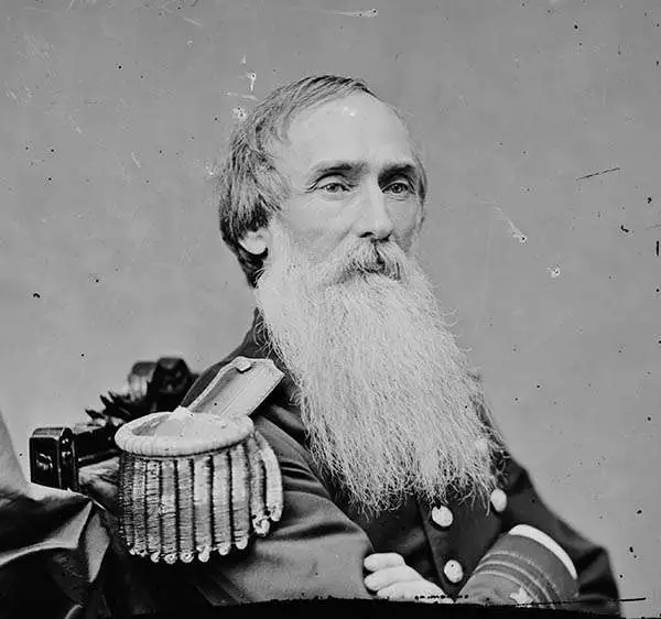
Benjamin Franklin Sands (February 11, 1811 - June 30, 1883) was a distinguished United States Navy officer in both the Mexican-American War and the U.S. Civil War. After entering the Navy as a midshipman in 1828, Sands spent a formative period from 1834 to 1841 engaged in foundational coastal charting and topographical mapping with the U.S. Coast Survey. His most significant impact on the Survey occurred in the 1850s, when he spent six years commanding the side-wheel Coast Survey steamship Robert J. Walker in the Gulf of Mexico. Tasked with securing safe navigation for an expanding nation, Sands meticulously charted the Florida Keys, the western coast of Florida (including Tampa Bay and Pensacola Harbor), and the complex channels of the Mississippi River Delta. A natural innovator, he also advanced the field of hydrography by inventing a specialized deep-sea sounding apparatus and several other mapping instruments to measure ocean depths more accurately. Sands' expertise in hydrography continued right up to the brink of the American Civil War, during which he commanded the survey vessel Active along the Pacific Coast in 1861. This decades-long immersion in coastal mapping proved strategically invaluable during the war; his intimate, firsthand knowledge of the shallow, treacherous shorelines of the Gulf of Mexico directly enabled his success as a Union blockade commander, culminating in his formal acceptance of Galveston's surrender in June 1865. Following the war, Sands brought his technical acumen to Washington, D.C., where he served as the Superintendent of the U.S. Naval Observatory from 1867 until his retirement as a Rear Admiral in 1874.
Nautical chart of the Mississippi River Delta.
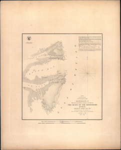
H No. 8 Reconnoissance of the N.E. and S.E. Passes and Passe A l'Outre of The Delta of the Mississippi Louisiana.
$300.00
Acquire
- Digital Map Information
- Suitable for large format printing
- Full resolution TIFF file
- ICC color profile embedded
- Delivered instantly via download link
This is a rare, separately-issued 1851 nautical map or chart of the Mississippi River Delta. It is among the earliest detailed surveys of this portion of the notoriously tricky and vitally important waterway. This example is notable for being separately-issued on thicker paper and engraved rather than lithographed. (more details)