
Stene, Robert Martin
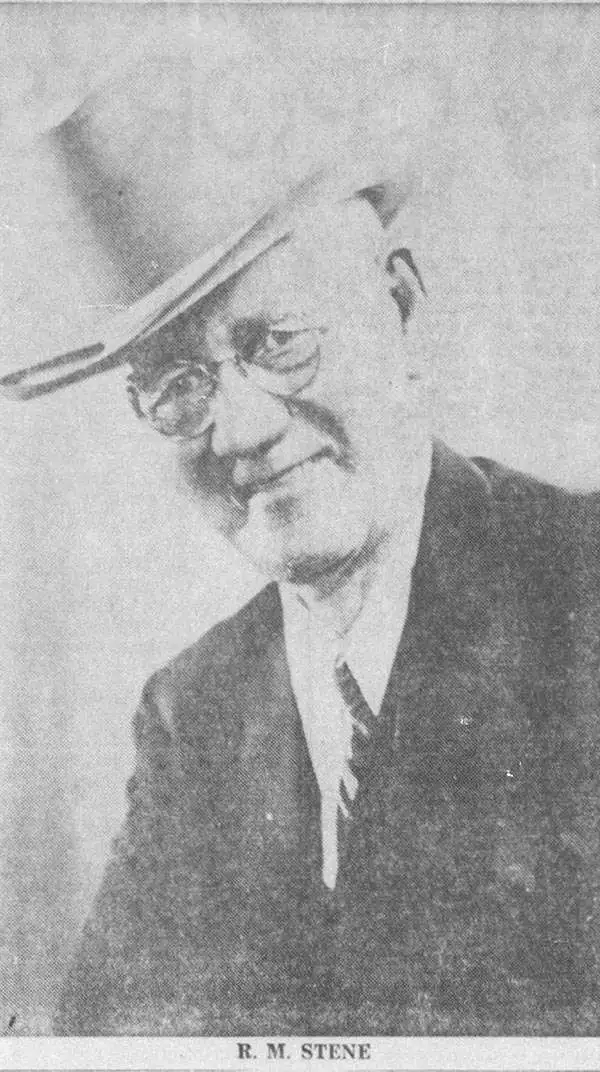
Robert Martin Stene (May 23, 1872 - August 10, 1954) was an American cartographer and photographer. Born on a farm outside Norway Lake, Minnesota, his first job was as a station agent for the Great Northern Railway in Norway Lake. Then, in Fargo, North Dakota, he worked for the Hanson Studio, where he demonstrated a gift for operating a telegraph. This earned him a job as a telegraph operator. He moved to Texas for his health sometime before 1900 and settled in Austin where he worked as a photographer in Journey's Studio. Stene then worked as an advertising agent and telegraph operator for the Santa Fe railroad in Dallas and Galveston for several years before moving to San Francisco to study mapping. From there he joined mining engineers in Arizona and California as a map draftsman. Then, Stene started working as a hydraulic and mining engineer in Arizona, where he surveyed rivers and canyons for dam sites. He also founded a mining company to mine copper in Arizona. At some point during his time in Arizona, Stene organized the Williams River Corporation with the goal of building a dam and generating electricity. Unfortunately for Stene, after he had done the work to find financiers and supporters to build the dam, the project became public, and a different company was formed that took over the project. Stene was out and lost everything. At this point, around 1927, he moved back to Texas and joined the Texas Highway Department as a cartographer. He retired from the Highway Department in 1950.
Unique Internal planning wall map recording the early days of the Texas Highway System.
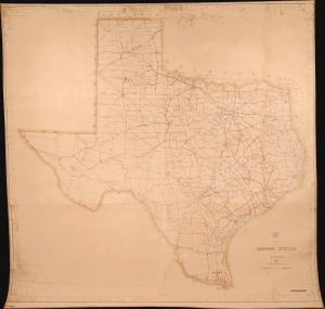
Map of the Highway System o Texas 1932.
$4,500.00
Acquire
- Digital Map Information
- Suitable for large format printing
- File Size: 5.75 MB
- File Type: ZIP / TIFF
- ICC color profile embedded
- Delivered instantly via download link
This is a massive 1932 wall map of the Texas Highway System drafted by Robert Martin Stene - featuring manuscript updates suggesting that the map was issued for internal use only. It captures a critical early phase in the development of the highway system as it transitioned old dirt and macadamized roads to concrete. It is the largest planning phase highway map of Texas known to survive. (more details)
Travel Texas' highways and visit its state parks.
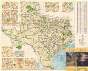
Texas Highway Map. 1941 Summer Edition.
$375.00
Acquire
- Digital Map Information
- Suitable for large format printing
- Full resolution TIFF file
- ICC color profile embedded
- Delivered instantly via download link
This is a 1941 Robert Martin Stene and Texas Highway Department highway map of Texas. Texas' extensive highway network is illustrated in detail. (more details)