
Tojo Kindai
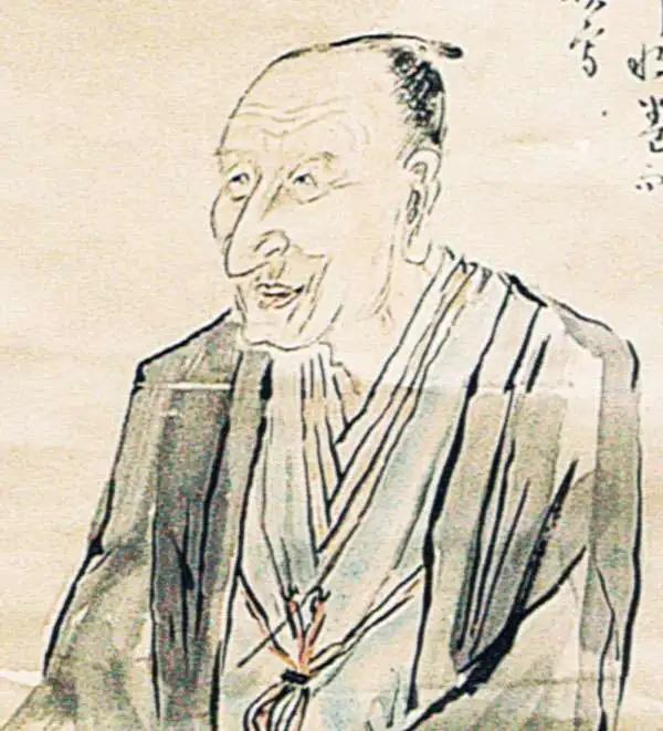
Tojo Kindai (東条琴台; July 22, 1795 - September 26, 1878) was a Japanese Confucian scholar and cartographer active in Edo during the middle part of the 19th century. He was born in Edo (Tokyo) and studied under Ota Kinjo (大田 錦城; 1765 - 1825) and Kameda Pengsai (亀田 鵬斎; 1752 - 1826), later serving the Fukushima Daimyo. Tojo's work transitions between the Edo and early Meiji periods.
Early Japanese nautical chart.
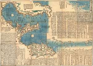
伊豆七島全圖 附無人島八十嶼圖相武房總海岸圖 / The Complete Map of the Seven Islands of Izu with a Map of the Eighty Uninhabited Islands.
$2,000.00
Acquire
- Digital Map Information
- Suitable for large format printing
- Full resolution TIFF file
- ICC color profile embedded
- Delivered instantly via download link
An extraordinary find, this is an 1842 (Tenpō 13) Tokugawa Period Japanese woodblock nautical chart / map of the Izu Islands (伊豆諸島 / Izu-shoto) by Tōjō Kindai. Oriented to the East, this map covers from Chiba, Kanagawa, and Sagami Bay southwards as far as Miyake and Mikurajima Islands. With minimal inland detail this map can best be interpreted as a traditional Japanese nautical chart. Notes nautical routes and many offshore features including dangerous reefs and shoals. (more details)