
Veatch, Arthur Clifford
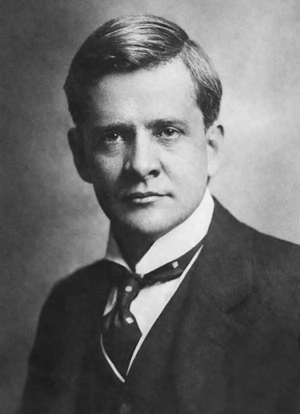
Arthur Clifford Veatch (October 26, 1878 - December 24, 1938) was an American geologist with a long career in the petroleum industry and with the U.S. Geological Survey. He was born in Evansville, Indiana and attended Indiana University, then Cornell University and the University of Wisconsin. His early career saw him working as a geologist in the oil industry in Texas in the booming years at the start of the 20th century, then take a teaching position at Louisiana State University. In 1902, he began working with the U.S. Geological Survey, where he took on a variety of tasks including exploring underground water resources and as a special commissioner to examine the mining laws of Australia and New Zealand. In 1910, he returned to the private sector, working in South America among other locations. He would lead the oil exploration efforts of the British petroleum firm Pearson and Son and later the Sinclair-Consolidated Oil Corporation, to the great benefit of both companies, before working independently as a consultant from 1928 onwards. Veatch was an active member in several professional and academic associations, including the American Association of Petroleum Geologists.
Supplying the City and Suburbs with Water.
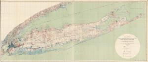
Map Showing the Waterworks Systems of Long Island, New York.
$1,500.00
Acquire
- Digital Map Information
- Suitable for large format printing
- File Size: 88.83 MB
- File Type: ZIP / TIFF
- ICC color profile embedded
- Delivered instantly via download link
This is a large-format 1903 map of Long Island by A.C. Veatch and Isaiah Bowman of the U.S. Geological Survey. It highlights the island's waterworks system, an essential factor in Long Island's rapid development in the early 20th century. (more details)
Water Supply for the Great Metropolis.
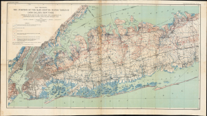
Map showing the Position of the Main Ground-water Table on Long Island, New York.
$350.00
Acquire
- Digital Map Information
- Suitable for large format printing
- Full resolution TIFF file
- ICC color profile embedded
- Delivered instantly via download link
This is a 1904 map of the groundwater table and water supply infrastructure on western Long Island produced by the U.S. Geological Survey. Part of the effort to map Long Island's water resources, it addressed a critical need for information as the water demands of the rapidly growing New York City increased. (more details)