
Alexander, Joseph B.
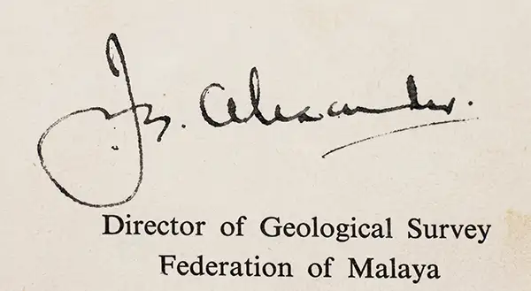
Joseph B. Alexander (February 29, 1912 - February 1996) was a British geologist active in Malaya (later Malaysia), who rose to become the first head of the country's Geological Survey Department in its era of independence. Born in Ipswich, Alexander was educated at the University of London and Royal School of Mines. He appears to have also received a graduate degree at the California Institute of Technology in the late 1940s. After completing his education, Alexander moved to Malaya and worked as a field geologist within the Geological Survey Department. Spending several decades there, Alexander rose to become the Survey's director in a period of transition, as Malaya became independent and the Survey moved to a new headquarters in Ipoh. During his tenure, Alexander modernized Malaya’s mineral exploration methodology by adopting airborne geophysical surveying. Under the auspices of the international Colombo Plan, he led initiatives using airborne magnetometer and scintillation counter surveys to systematically identify tin, iron, and radioactive mineral deposits. Throughout his career, Alexander published numerous maps, reports, and monographs on the geology of specific parts of the Malay Peninsula. He received the title of Commander of the Order of the British Empire and was also a fellow of the Geological Society and an Associate of the Royal School of Mines. Outside of work, Alexander served as the President of the Ipoh branch of the Y.M.C.A. while he was director of the Survey. He married a Chinese Malaysian woman named Rosa Ching Yeuk Sum, with whom he had at least one child.
Mining and Land Use in the Postcolonial Age.
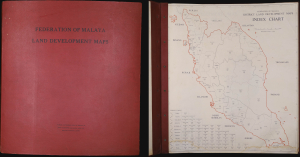
This is a rare 1961 atlas of land development (i.e., land use) in the newly independent Federation of Malaya, prepared by the Federation's Geological Survey Department under the leadership of Joseph B. Alexander. Focusing on mining and mineral exploitation, the 56 maps provide a remarkably comprehensive overview of the Federation's constituent parts in the years just after independence. Both the content and production (overseen by a British geologist) reflect the distinctive, gradual transition away from colonialism on the Malay Peninsula. (more details)