
Bordiga, Giovanni Battista

Giovanni Battista Bordiga (1799 - 18xx) was an Italian engraver who produced dozens of works, many of which were maps.
Published near the end of the Wars of Italian Unification.
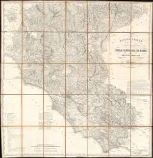
Nuova Carta Topografica della Campagna di Roma Antica e Moderna.
$450.00
Acquire
- Digital Map Information
- Suitable for large format printing
- File Size: 141.91 MB
- File Type: ZIP / TIFF
- ICC color profile embedded
- Delivered instantly via download link
Published c. 1870, this Antonio Vallardi and Giovanni Battista Bordiga map of Lazio and Umbria details the vestiges of independent Italian city-states during Italian unification. Led by Giuseppe Maria Garibaldi (1807 -1882), wars had raged across Italy that slowly brought the peninsula's various states together under one crown. Victor Emmanuel II of Sardinia became the sovereign of the Kingdom of Italy in 1861. But the last independent state, held by the Pope, stubbornly held out until 1870, when it fell flowing a siege. (more details)