
Brockhaus, Friedrich Arnold
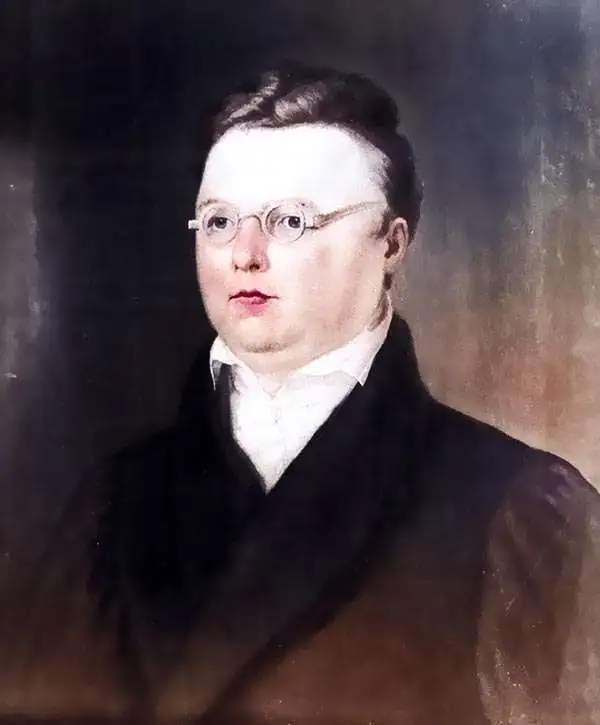
Friedrich Arnold Brockhaus (May 4, 1772 - August 20, 1823) was a German publisher and editor. He was born in Dortmund and from 1788 - 1793 apprenticed at a mercantile concern in Düsseldorf. He subsequently studied language and literature at the University of Leipzig, then went on to establish a Dortmund-based concern importing and selling English goods. He developed his business in Amsterdam for a time before economic pressures forced him to close. He turned to publishing, founding 'F. A. Brockhaus', in 1805. The firm was initially based in Amsterdam, but in 1811 relocated to Altenburg, Germany, then, in 1818, to Leipzig. There he established a large printing house dedicated to encyclopedias, scientific publications, and literature. Friedrich Arnold died in Leipzig in 1823, but the business was taken over by his sons, Friedrich Brockhaus (1800 - 1865), who retired in 1850, and Heinrich Brockhaus (1804 - 1874), under whom it was considerably extended. Their most significant publication was the Brockhaus Enzyklopädie, also known as Der Grosse Brockhaus. In 1953, after World War II (1939 - 1945), its Leipzig operations were nationalized by East Germany. Its West German successor established itself in Wiesbaden. Following German reunification, corporate headquarters were moved to Munich. The firm continues to publish as F. A. Brockhaus AG.
Die erste Weltausstellung.
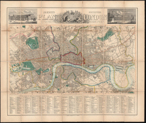
J.G. Heck's neuester Plan von London und seinen Umgebungen.
$1,200.00
Acquire
- Digital Map Information
- Suitable for large format printing
- File Size: 52.36 MB
- File Type: ZIP / TIFF
- ICC color profile embedded
- Delivered instantly via download link
This is Johann Georg Heck's 1851 large-format German-language folding map of London. Providing a detailed overview of central London, it was published for German tourists visiting the Great Exhibition of 1851. (more details)
First mapping of pan-European wine production.
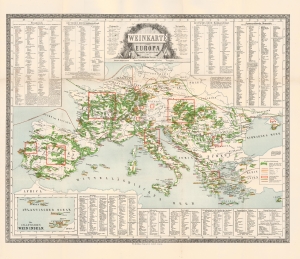
Weinkarte von Europa.
$2,000.00
Acquire
- Digital Map Information
- Suitable for large format printing
- Full resolution TIFF file
- ICC color profile embedded
- Delivered instantly via download link
This is Wilhelm Hamm's 1871 infographic map of Europe illustrating wine production, considered a cartographic masterpiece in the illustration of viticulture. According to Petermann, writing when this map was published, 'to our knowledge, the cultivation of viticulture throughout Europe has never been attempted to be presented in such completeness and with such detail.' (our translation, 'Prospectus') (more details)