
Chías y Carbó, Benito
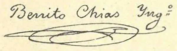
Benito Chías y Carbó (1864 - 1925) was a Spanish military engineer and cartographer. Chías y Carbó created numerous maps and atlases, the most renowned of which are part of the 'Regional Spain' series. Among his other most respected works are the Atlas Geográfico Pedagógico de España which included 240 maps, the Atlas Geográfico de Portugal, the Atlas Geográfico de México and the Atlas Geográfico Ibero-Americano. All of his works were published by the Editorial Alberto Martín.
Mazatlán!
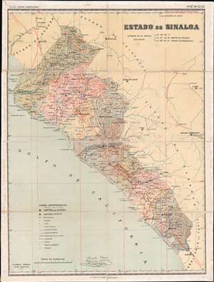
Estado de Sinaloa.
$400.00
Acquire
- Digital Map Information
- Suitable for large format printing
- Full resolution TIFF file
- ICC color profile embedded
- Delivered instantly via download link
This is a c. 1900 Benito Chías y Carbó map of Sinaloa, Mexico. A state in northwestern Mexico, Sinaloa is home to the cities of Mazatlán and Culiacán Rosales, the state capital. Both of these cities are identified here, along with towns and villages throughout the state. Bright red lines trace the state's highways and roads, while the one railroad connecting Culiacán and Altata on the Gulf of California is highlighted by a black and white dashed line. Red 'T's mark telegraph stations and small black crosses identify bishoprics. (more details)
Grist for Galician Separatism?
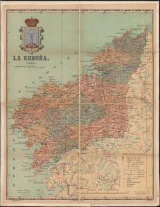
La Coruña.
$350.00
Acquire
- Digital Map Information
- Suitable for large format printing
- File Size: 13.71 MB
- File Type: ZIP / TIFF
- ICC color profile embedded
- Delivered instantly via download link
An attractive 1903 separately-issued folding map of the province of La Coruña, consistent with the northwestern portion of the region of Galicia, in Spain. It was prepared by Benito Chías y Carbó and colleagues for their Atlas Geografico de España, but appears here as a separately-issued folding map. (more details)