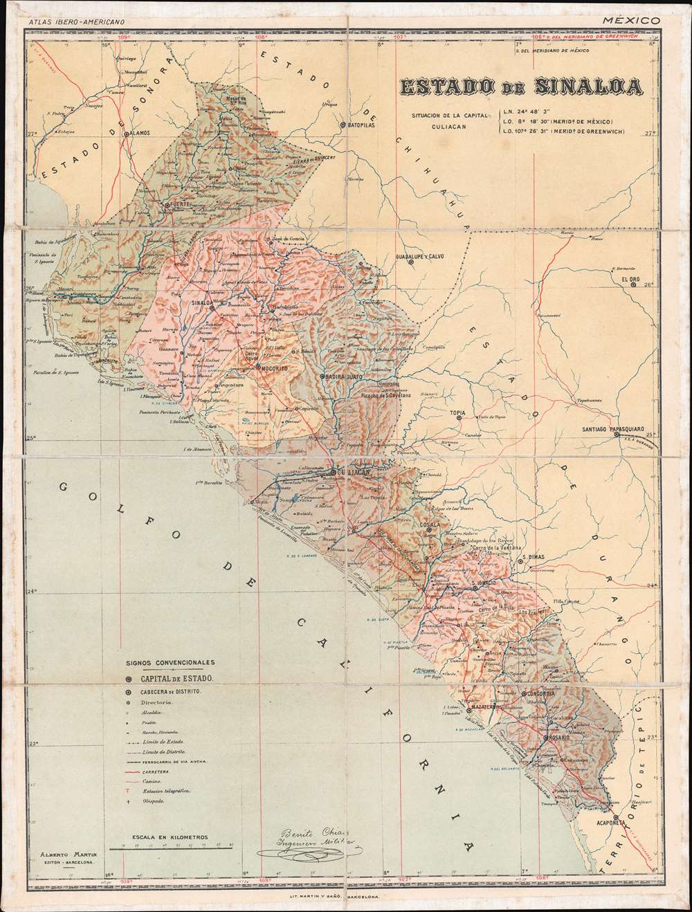
1900 Chias Map of Sinaloa, Mexico
Sinaloa-chias-1900$400.00

Title
Estado de Sinaloa.
1900 (undated) 18.125 x 13.75 in (46.0375 x 34.925 cm) 1 : 1417320
1900 (undated) 18.125 x 13.75 in (46.0375 x 34.925 cm) 1 : 1417320
Description
This is a c. 1900 Benito Chías y Carbó map of Sinaloa, Mexico. A state in northwestern Mexico, Sinaloa is home to the cities of Mazatlán and Culiacán Rosales, the state capital. Both of these cities are identified here, along with towns and villages throughout the state. Bright red lines trace the state's highways and roads, while the one railroad connecting Culiacán and Altata on the Gulf of California is highlighted by a black and white dashed line. Red 'T's mark telegraph stations and small black crosses identify bishoprics.
Publication History and Census
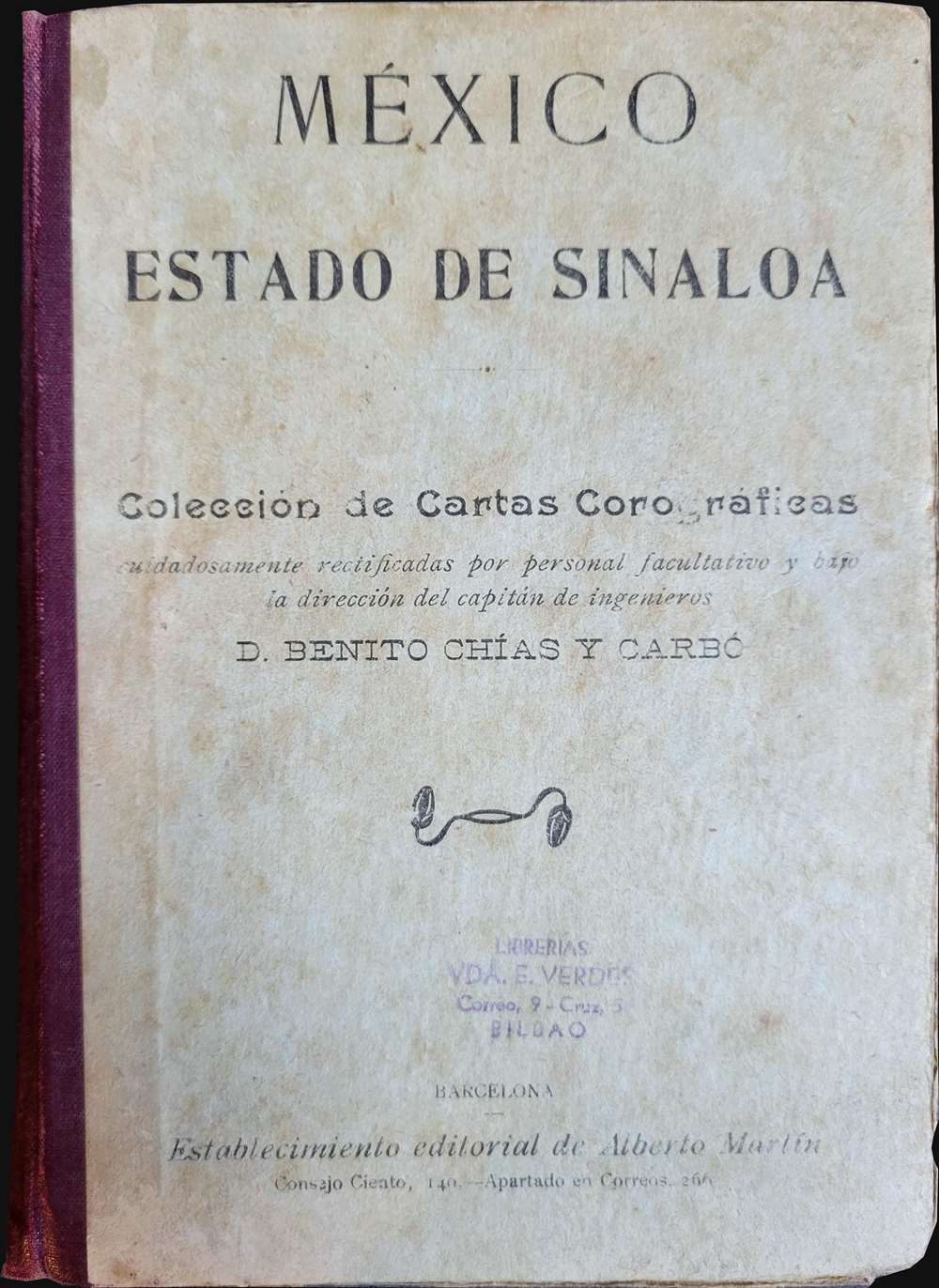
This map was drawn by Benito Chías y Carbó and published by Alberto Martín c. 1900 as part of the Atlas Ibero-Americano. We have identified a single cataloged example of the separate map, which is part of the collection at the Biblioteca Nacional de España.CartographerS
Benito Chías y Carbó (1864 - 1925) was a Spanish military engineer and cartographer. Chías y Carbó created numerous maps and atlases, the most renowned of which are part of the 'Regional Spain' series. Among his other most respected works are the Atlas Geográfico Pedagógico de España which included 240 maps, the Atlas Geográfico de Portugal, the Atlas Geográfico de México and the Atlas Geográfico Ibero-Americano. All of his works were published by the Editorial Alberto Martín. More by this mapmaker...
Alberto Martín (18xx - 1917) was a Spanish publisher in Barcelona in the late 19th and early 20th century. He founded the Editorial Alberto Martín, which specialized in publishing works of a geographical, folkloric, and touristic nature. His goal was to disseminate information about the art, archaeology, history, and geography of the Iberian Peninsula. Works published by the Editorial Alberto Martín were known for quality photographic illustrations. After Martín's death in 1917, his daughter Dolores Martín Zamora took over the publishing firm. Learn More...
Condition
Very good. Dissected and mounted on linen in eight (8) panels. Exhibits light soiling. Accompanied by original binder.
References
Biblioteca Nacional de España GMG/785 MAPA 31.