
Cruys, Cornelis
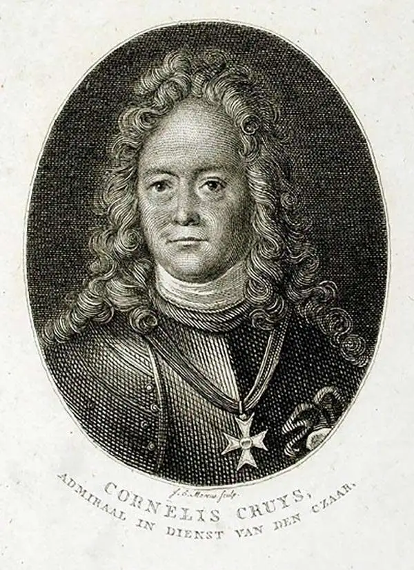
Cornelis Cruys (June 14, 1655 - June 14, 1727) was a Norwegian sailor and naval officer, best known for his service in the Dutch Navy, and later the Imperial Russian Navy on behalf of Tsar Peter the Great, under whom he rose to an admiralship. He was born Niels Olufsen in Stavanger, Norway. Eventually, he moved to the Dutch Republic, changing his name in the bargain. He married in Amsterdam in 1681, by which time he had already been captain of a merchant ship for a year. He became a citizen of the city seven months later. He continued as a merchant until 1696, when he joined the Dutch Navy. He received a posting as Naval Depot Master in Amsterdam, but he did not stay. Following Peter I of Russia's famed visit to the Dutch Republic in 1697, Cruys was one of the first sailors and skilled workers to accompany Peter back to Russia; he would enter Peter's service as a vice admiral of the navy and an advisor on nautical and naval matters. Under Cruys' guidance, Russia built a modern navy essentially from scratch. Cruys was tasked with building a Black Sea fleet to counter Turkey in the south; Cruys was then given the Mayoralty of the newly-founded Don fortified port of Taganrog, which guarded the approaches to the Don River from the Sea of Azov. He would serve as commander of the Russian Baltic fleet in the opening years of the Great Northern War with Sweden. He continued in his service in Russia for a quarter of a century, attaining the rank of Admiral in 1721. He died in 1727. Cruys is credited with having produced the first detailed, printed charts of the Sea of Azov and the Don River.
First scientific charting of the River Don, by Peter The Great's Handpicked Admiral.
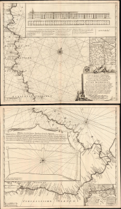
Nieuwe zeer Accurate, en Naauwkeurige Caart vande Rivierde Don of Tanais, Met aanwijzinge van alle des Selfs Dieptens, Droogtens etc. afgemeeten in 't Iaar 1699.
$3,250.00
Acquire
- Digital Map Information
- Suitable for large format printing
- Full resolution TIFF file
- ICC color profile embedded
- Delivered instantly via download link
This is Cornelis Cruys' rare, two-sheet chart of the Don River, the first modern astronomical survey of that waterway, based on his 1699 observations made while accompanying Peter the Great and the new Russian Black Sea Fleet from Voronezh to Azov. The plates were engraved by Hendrick Doncker for inclusion in Cruys' 1704 atlas of the Don; the present example is of the c. 1729 state, updated and printed by the Ottens firm for inclusion in their atlases. All states of the chart are rare, with the Doncker all but unacquirable. (more details)