
Flemming, Carl

Carl Flemming (fl. c. 1840 - c. 1879) was a German cartographer and map publisher active in the late 19th and early 20th centuries. The firm was an early adopter of modern multicolor printing techniques, which it utilized to produce low cost attractive maps focused on the German market. The firm is also known for its children's books. Flemming died in 1878 or 1879, but his firm continued to publish well into the 20th century. Flemming was based in Glogow, a region that is currently part of modern day Poland's Lower Silesian Voivodeship.
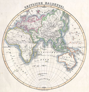
Eastern Hemisphere
$150.00
Acquire
- Digital Map Information
- Suitable for large format printing
- Full resolution TIFF file
- ICC color profile embedded
- Delivered instantly via download link
This attractive hand colored map depicts the Eastern Hemisphere including Africa, Europe, Asia and Australia. Printed in 1844 by well known map publisher C. ... (more details)
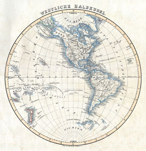
Western Hemisphere
$190.00
Acquire
- Digital Map Information
- Suitable for large format printing
- Full resolution TIFF file
- ICC color profile embedded
- Delivered instantly via download link
This attractive hand colored map depicts the Western Hemisphere including North America and South America. Printed in 1844 by well known map publisher C. ... (more details)
The height of the California Gold Rush.
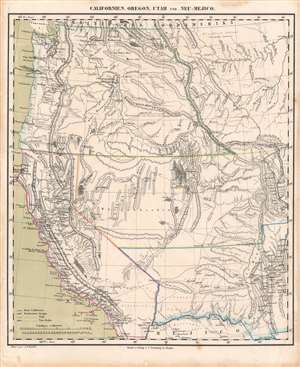
Californien, Oregon, Utah, und Neu-Mejico.
$600.00
Acquire
- Digital Map Information
- Suitable for large format printing
- DPI: 600
- File Size: 28.89 MB
- File Type: ZIP / TIFF
- ICC color profile embedded
- Delivered instantly via download link
This is a c. 1850 Friedrich Handtke and Carl Flemming map of the western United States at the height of the California Gold Rush. This map was issued soon after California became a state. Coverages extends from the Pacific Ocean to the Rocky Mountains and from Canada to Mexico. (more details)