
Folchi, Clemente
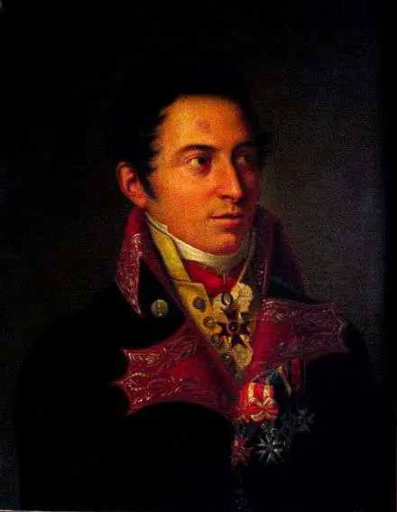
Clemente Folchi (November 14, 1780 - September 30, 1868) was a prominent Italian architect and engineer. Folchi was born in Rome. He initially studied mathematics and philosophy, but in 1800, apprenticed in architecture from 1800 under Andrea Vici (1743 - 1817). From 1806 became a member of the Commissione di Pesi e Misure and of the Académie des Lyncéens in Rome (equivalent of the French Académie des Beaux-Arts). In 1819, Barbara Vici the daughter of his teacher, Andrea Vici, became a widow and Folchi promptly married her. He leveraged the Vivi name to establish his own firm, Folchi Vici. In 1845, he oversaw the production of Giuseppe Civelli's enormous map of Italy. Folchi died in Rome at 88 years of age.
'The Balbi Map' - largest commercial map of Italy of the 19th century.
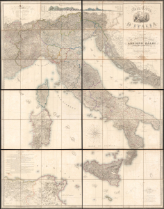
Gran Carta d'Italia.
$7,000.00
Acquire
- Digital Map Information
- Suitable for large format printing
- Full resolution TIFF file
- ICC color profile embedded
- Delivered instantly via download link
A truly 'ginormous' production, this is Giuseppe Civelli's great map of Italy, here in its 1845 first edition. The map measures nearly 100 inches high and eighty inches wide, making it one of the largest maps we have seen. It was issued in the early days of the Italian Risorgimento and can be seen as a unique symbol aspiring to a newly ascendant sense of shared Italian national identity. (more details)
One of the largest commercial maps we have seen.
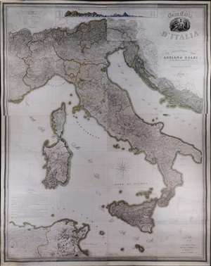
A truly 'ginormous' production, this is Giuseppe Civelli's great map of Italy, here in its 1845 first edition. The map measures nearly 100 inches high and eighty inches wide, making it one of the largest maps we have seen. It was issued in the early days of the Italian Risorgimento and can be seen as a unique symbol aspiring to a newly ascendant sense of shared Italian national identity. The map embraces the whole of the Italian peninsula and Sicily, as well as Corsica, Sardinia, Dalmatia, Malta, North Africa, and the northern Italian states. Along the top of the map, there appears a detailed comparative elevation chart. Throughout the detail is staggering, making this great work the finest map of Italy to appear in the 19th century. (more details)