
Fūgetsudō (堂, 風月庄左衛門)
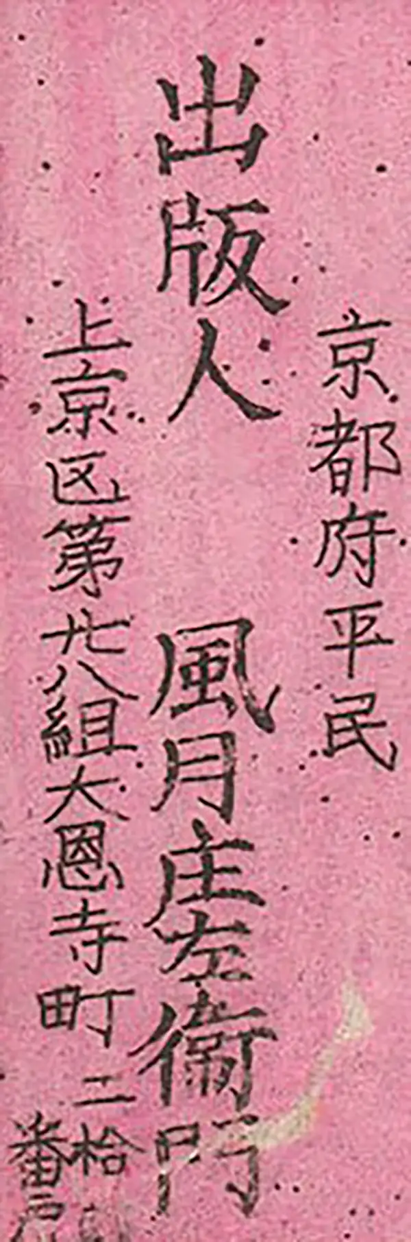
Fūgetsudō (風月堂, 風月庄左衛門; fl. c. 1635 - 1915), not to be confused with the storied candy shop chain of the same name, was a Kyoto based publisher of maps and books active in the Edo and Meiji periods. The firm's more common name is an abbreviation of Fugetsu Shōzaemon (風月庄左衛門). Established during the Kan'ei era (1624–1644) in the early Edo period as Fugetsu Sōchi, Fugetsudō was one of Kyoto's oldest and most influential publishing houses and booksellers, and one of the premier members of Kyoto's elite booksellers guild (Shorin Jissatsu). Fugetsudō built its reputation on scholarly and intellectual publications, specializing in Confucian treatises, Chinese imports (tangon), medical texts, dictionaries, and Buddhist literature. Beyond producing original woodblock prints, the house operated an extensive book trading network, supplying rare manuscripts to major feudal domains such as Owari and Saeki through regional branches like Fugetsu Magosuke in Nagoya. The house's surviving 18th-century business diary, the Nichireki (日暦), remains one of the single most important primary historical sources for understanding Edo-period publishing economics, copyright pools (itakabu), and book distribution. As Japan modernized during the late 19th century, Fugetsudō successfully adapted its business from traditional woodblock printing to modern production methods, remaining active well into the Meiji period. The firm embraced Western copperplate etching (dōban-ga), collaborating with prominent local engravers and editors like Hashimoto Chōgetsu to publish highly accurate district maps, pocket travel guides (such as the 1880 Kyōto Meisho Ichiran Zue), and landscape prints documenting Meiji-era infrastructure developments like the Lake Biwa Canal. Spanning nearly three centuries of continuous operation, Fugetsu Shōzaemon played a vital role in establishing Kyoto as Japan's historical center of print culture and capturing its transition into the modern age.
AKA: 堂, 風月庄左衛門
Readjusting for the Meiji Era.
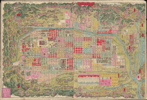
改正再刻亰都區組分細圖 / [Revised and Reengraved Detailed Map of Kyoto Divided into Wards].
$700.00
Acquire
- Digital Map Information
- Suitable for large format printing
- Full resolution TIFF file
- ICC color profile embedded
- Delivered instantly via download link
This is an 1883 city plan or map of Kyoto, Japan, prepared by Hashimoto Chōgetsu. It was published after Kyoto lost its status as Japan's imperial capital, but just as its partial revival as an industrial and transportation hub was beginning. (more details)
Meiji Era map with interesting anomalies.
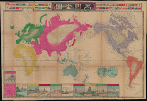
萬國全圖 / [Complete World Map].
$950.00
Acquire
- Digital Map Information
- Suitable for large format printing
- File Size: 27.62 MB
- File Type: ZIP / TIFF
- ICC color profile embedded
- Delivered instantly via download link
This is a rare and peculiar 1888 Yoshimura Sentarō world map produced during the Meiji Period when the literate Japanese public was eager to learn about the world. (more details)