
Gregory, Henry (Azimuth Compass, Gregory and Wright)
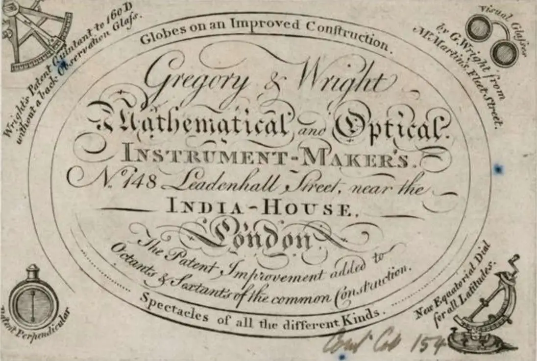
Henry Gregory (1744 - c. 1811) was an English chart and instrument maker active in London. Gregory was born in England. Gregory was apprenticed to John Fowler in 1732. He was in business for himself from c. 1750, operating 'The Azimuth Compass' in Leadenhall Street, London. He was a protégé of William Herbert (1718 – 1795) whose chart stock he took over in 1776. As a chartmaker, he produced the 1769 Directions for navigating from the Channel to the East Indies and the 1774 An Account of the Constant and Periodical Trade-Winds: or Monsoons, the Land and Sea Breezes. He collaborated with Samuel Dunn (1723 - 1794) on the 1775 Navigator's guide to the Oriental or Indian Seas. That same year, he took over the publication of Herbert's New Directory for the East Indies. Among the many instruments he produced, his azimuth compasses received praise from no lesser light than explorer James Cook (1728 - 1779) and were used in numerous late 18th century British voyages of exploration. Henry Gregory partnered with Gabriel Wright, operating as 'Gregory and Wright' from in 1782 - 1790, based at Navigation Warehouse, 148 Leadenhall Street, London (Gloria Clifton, G. Directory of British Scientific Instrument Makers, 1550 - 1851).
AKA: Azimuth Compass, Gregory and Wright
Definitive Chart of the vicinity of Jakarta.
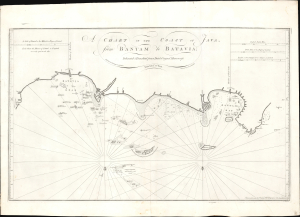
A Chart of the Coast of Java from Bantam to Batavia.
$2,750.00
Acquire
- Digital Map Information
- Suitable for large format printing
- File Size: 20.99 MB
- File Type: ZIP / TIFF
- ICC color profile embedded
- Delivered instantly via download link
This is William Herbert's rare 1777 nautical map of northern Java in the vicinity of Jakarta (Batavia and Bantam). The chart was issued for the 1777 fourth edition of Herbert's New Directory for the East Indies, published by his protégé Henry Gregory as an English response to Jean-Baptiste de Mannevillette's 1775 reissue of the Neptune Oriental. (more details)