
Güssefeld, Franz Ludwig
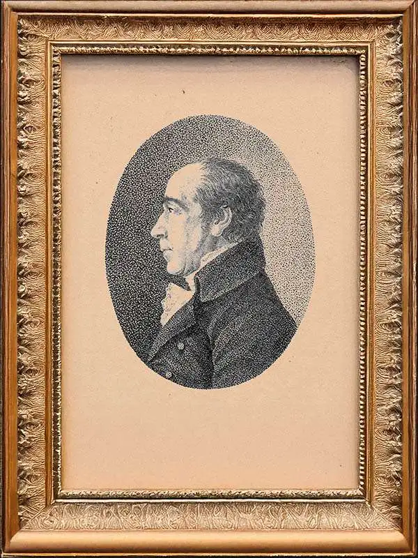
Franz Ludwig Güssefeld (December 6, 1744 - June 17, 1807) was a German cartographer and map publisher active in Weimar in the second half of the 18th and early 19th centuries. Güssefeld was born in Osterburg and exhibited an early talent for geography. He initially worked as a building director in Königsberg, Prussia, where he surveyed the Noteć River. He then served as a forest ranger in Saxe-Weimar. There, he met geographer Anton Friedrich Büsching (1724 - 1793), whose geographical studies he compiled into a map of Brandenburg published by Homann Heirs (Homann Erben). The map was a great success due to its accuracy and spurred a revival of the venerable but floundering Homann Heirs publishing house. Güssefeld went on to produce more than 100 maps, most published by Homann Heirs. His son-in-law, Johann Valentin Blaufuß. (1769 - 1850) was also a prominent surveyor and cartographer.
Das Land der Freien.
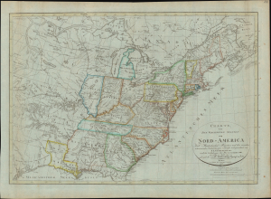
Charte von den Vereinigten Staaten von Nord-America nebst Louisiana und Florida : nach Murdochischer Projection und den neuesten astronomischen Ortsbestim[m]ungen
$950.00
Acquire
- Digital Map Information
- Suitable for large format printing
- Full resolution TIFF file
- ICC color profile embedded
- Delivered instantly via download link
This is an 1817 Franz Ludwig Güssefeld German-language map of the United States of America that appeared in Gaspari's Grosser Hand-Atlas, published by the Geographisches Institute in Weimar. It provides a fascinating glimpse into the dissemination of knowledge to a European audience about the young republic across the Atlantic. (more details)