
Howell, Edwin Eugene
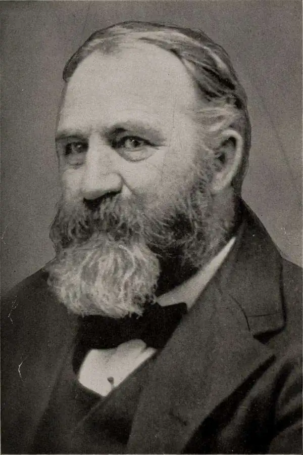
Edwin Eugene Howell (March 12, 1845 - April 16, 1911) was an American geologist and cartographer known for his high-quality raised relief maps. Born in New York, he attended the University of Rochester, where he studied with the geologist Henry A. Ward. Afterwards, he joined early surveys in the American West led by George Montague Wheeler and John Wesley Powell, two of the 'Four Great Surveys' that were joined to form the U.S. Geological Survey. Afterwards, he devoted his efforts to producing maps, including the aforementioned raised-relief maps, and also helped to found the Geological Society of America.
An early geological map of the Grand Canyon region.
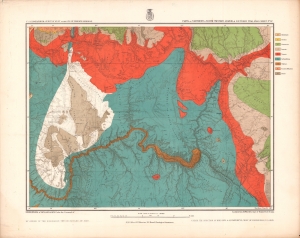
Parts of Northern and North Western Arizona and Southern Utah. Sheet No. 67.
$500.00
Acquire
- Digital Map Information
- Suitable for large format printing
- File Size: 21.85 MB
- File Type: ZIP / TIFF
- ICC color profile embedded
- Delivered instantly via download link
A beautifully chromolithographed geologic map of northern Arizona and environs, including the Grand Canyon, produced by the Wheeler Survey c. 1873 and published in the Topographical Atlas which summarized the survey's work. (more details)
Boulder Canyon before Hoover Dam.
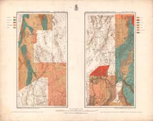
Parts of E. California, S.E. Nevada, N.W. Arizona and S.W. Utah. Atlas Sheet Number 58 / Atlas Sheet Number 66.
$400.00
Acquire
- Digital Map Information
- Suitable for large format printing
- File Size: 20.22 MB
- File Type: ZIP / TIFF
- ICC color profile embedded
- Delivered instantly via download link
An interesting pair of geologic maps of the American West, displaying the region around the Colorado River at Boulder Canyon, not far from the future city of Las Vegas. They were produced by the Wheeler Survey c. 1873 and published in the Topographical Atlas, which summarized the survey's work. (more details)