
King, Clarence
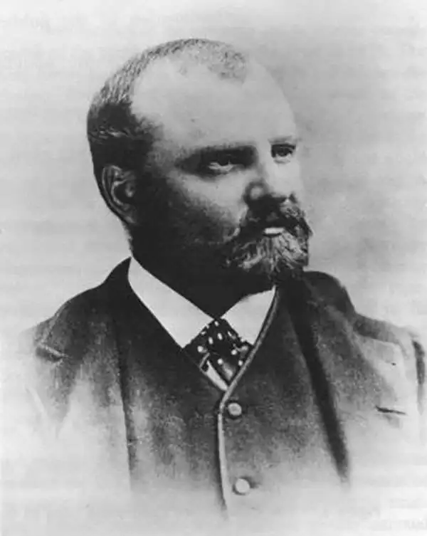
Clarence Rivers King (January 6, 1842 - December 24, 1901) was an American geologist, mountaineer, and author. King was born in Newport Rhode Island to a merchant family involved in the China trade. He developed an early interest in outdoor life, natural history, and geology - fields encouraged by both his mother and the head of the Christ Church Hall School of Pomfret, where he studied. From 13, he attended the prestigious Hartford High School, then Sheffield Scientific School (where he met James Terry Gardiner), and in 1860, Yale College. Graduating, he briefly moved to New York where he roomed with Gardiner, but the two quickly developed a plan to travel west on horseback. Following the wagon trains, they made their way to San Francisco, where both eventually took work with the California Geological Survey under Josiah Whitney (November 23, 1819 - August 18, 1896). In 1864 and 1865 they completed the first scientific survey of the Yosemite Valley and the High Sierra. In 1867 he conceived, planned, and led, along with Gardiner, the Fortieth Parallel Survey, during which he exposed the Diamond Hoax of 1872. From 1879 to 1881, he was the first director of the United States Geological Survey. In a bizarre twist, in the late 1880s King fell in love with Ada Copeland (1860 - 1964), an African American nursemaid and former slave from Georgia. Although he had light skin and eyes, King convinced her he was an African American railroad pullman worker named James Todd. They married in September 1888, having 5 children. Thus, King led a remarkable double life, at both the highest and lowest echelons of 19th century American society. After King died, Ada fought a legal battle to collect his inheritance, which ultimately failed. Nonetheless, former friends of King, particularly John Hay, stepped up to support Ada until her death at the impressive age of 104. King himself died of tuberculosis in Phoenix, Arizona, and was buried in Newport, Rhode Island.
One the earliest obtainable maps of Yosemite!
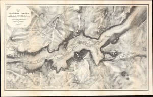
Map of the Yosemite Valley from Surveys made by order of the Commissioners to manage the Yosemite Valley and Mariposa Big Tree Grove.
$1,200.00
Acquire
- Digital Map Information
- Suitable for large format printing
- Full resolution TIFF file
- ICC color profile embedded
- Delivered instantly via download link
This is Clarence King and James Terry Gardiner's detailed map of the Yosemite Valley, California. Published in 1870, it is considered one of the earliest obtainable maps of that region. This map represents early government efforts under Frederick Law Olmsted and Josiah Dwight Whitney to map Yosemite as America's first reserved parkland. It offers superb detail, noting the Merced River, Virgin Tears, Yosemite Falls, Sentinel Rock and Dome, Bridal Veil Falls and Creek, Mariposa Trail, and much more. Important buildings on the valley floor also appear - including Yosemite's first two tourist hotels! (more details)