
Langlois, Hyacinthe

Hyacinthe Langlois (fl. c. 1800 - 1852) was a Parisian publishing house specializing in maps, atlases, and travel literature. They do not appear to have any relation with Eustache-Hyacinthe Langlois, a contemporary artist and engraver, who spent most of his adult life in Rouen.
Redefining the French national identity in the Bourbon Restoration.
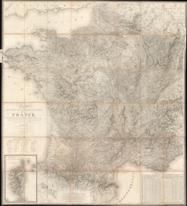
Carte Topographique, Minéralogique et Statistique de la France, Réduite de celle de Cassini, a L'Échelle de 1:388800.
$5,000.00
Acquire
- Digital Map Information
- Suitable for large format printing
- File Size: 122.13 MB
- File Type: ZIP / TIFF
- ICC color profile embedded
- Delivered instantly via download link
A massive 1826 map of France by Alexis Donnet and Hyacinthe Langlois. The map was issued as the definitive map of France during the Bourbon Restoration (1814 - 1830), as the nation recovered and reorganized in the wake of the Napoleonic Wars (1803 - 1815). (more details)
Keep out Prussians and Contain the Revolution.
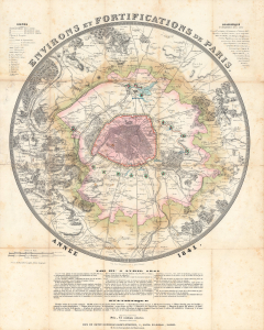
Environs et fortifications de Paris, année 1841.
$1,200.00
Acquire
- Digital Map Information
- Suitable for large format printing
- Full resolution TIFF file
- ICC color profile embedded
- Delivered instantly via download link
An impressive, hand-colored c. 1841 representation of Paris and environs by Hyacinthe Langlois. The map highlights the city's defenses, in particular the 'Thiers Wall' constructed between 1841 and 1846. (more details)