
Pownall, Thomas
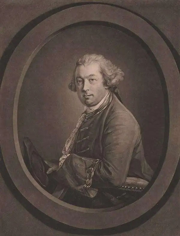
Thomas Pownall (1722 - February 5, 1805) was a British scholar, statesman and soldier active in the colonial administration of North America just prior to the American Revolutionary War. Pownell was born in England and educated at Trinity College, Cambridge. After graduation he was employed by his brother, John Pownall, at the office of the Lord's Commissioners of Trade and Plantations, which oversaw British economic interests in its North American colonies. In 1753, Pownall was appointed secretary to the governor of New York, Sir Danvers Osborne. Osborne, himself having be only recently appointed to the position, committed suicide shortly after taking office. Despite this setback, Pownall remained in America and devoted himself to studying and researching the colonies. In the process Pownall became close lifelong friends with Benjamin Franklin and other New World luminaries. He also published several notable works on the colonial administration of North America. In 1757 Pownall was appointed Governor of the Massachusetts Bay colony. In this position he frequently found himself at odds with the restrictive policies of the Board of Trade. It was not long before he was pushed out of office and, declining the governorship of Jamaica, reassigned to South Carolina. Despite nominally holding the governorship of South Carolina, Pownall never visited the colony. Instead he returned to England where he eventually became a member of Parliament. In Parliament, he advocated for reduced taxes towards the colonies - had he been heeded, the American Revolution may have never happened. Pownall retired from public life around 1780, but continued to pursue his scholarly interests. Pownall's research contributed significantly to several important maps and scholarly work on North America.
'the origin of the log cabin as a symbol of the American experience.' - Gilbron
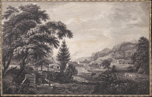
A Design to Represent the Beginning and Completion of an American Settlement or Farm.
$3,250.00
Acquire
- Digital Map Information
- Suitable for large format printing
- Full resolution TIFF file
- ICC color profile embedded
- Delivered instantly via download link
This is Thomas Pownall and Paul Sandby's illustration of the evolution of an American farmstead, from log cabin to gentlemanly estate. It is arguably the most famous and impactful image from the 1761 Six Remarkable Views in the Provinces of New York, New Jersey and Pennsylvania, published in London. This view is not only one of the earliest illustrations of American settler life, but it has also been credited by Gilbron as 'the origin of the log cabin as a symbol of the American experience.' (more details)
Religious Refuge on the American Frontier.
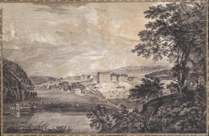
[A View of Bethlem, the great Moravian settlement in the province of Pennsylvania / Vue de Bethlem, principal etablissement des Freres Moraves dans la province de Pennsylvania].
$2,000.00
Acquire
- Digital Map Information
- Suitable for large format printing
- Full resolution TIFF file
- ICC color profile embedded
- Delivered instantly via download link
This is Thomas Pownall and Paul Sandby's depiction of the town of Bethlehem, Pennsylvania, that appeared in the 1761 Six Remarkable Views in the Provinces of New York, New Jersey and Pennsylvania (and later the Scenographia Americana), published in London. At the time, the town was among the most unusual and innovative in Britain's American colonies, being home to a strict and industrious Moravian community. (more details)
One of the Great Natural Wonders of the American Colonies.
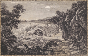
[A view of the great Cohoes Falls, on the Mohawk River, the fall about seventy feet, the river near a quarter mile broad / Vue de la grande cataracte de Cohoes, sur la riviere des Mohawks, la hateur est l'environ 70 pieds, 1 sa riviere a pres l'un quart de mile de large].
$1,500.00
Acquire
- Digital Map Information
- Suitable for large format printing
- Full resolution TIFF file
- ICC color profile embedded
- Delivered instantly via download link
This is Thomas Pownall and Paul Sandby's portrayal of the Cohoes Falls on the Mohawk River in New York that appeared in the 1761 Six Remarkable Views in the Provinces of New York, New Jersey and Pennsylvania (later Scenographia Americana), published in London. The falls were one of the great natural wonders of Britain's American colonies and, in the following decades, played an important role in the development of the Erie Canal and early industry in Upstate New York. (more details)
Natural Wonder, Engine of Industry.
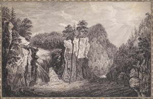
[A View of the Falls on the Passaick, or Second River in the Province of New Jersey / Vue de l'cataracte du Passaick, ou seconde riviere, dans la province du Nouveau Jersey].
$1,500.00
Acquire
- Digital Map Information
- Suitable for large format printing
- Full resolution TIFF file
- ICC color profile embedded
- Delivered instantly via download link
This is Thomas Pownall and Paul Sandby's illustration of the Great Falls of the Passaic River in New Jersey that appeared in the 1761 Six Remarkable Views in the Provinces of New York, New Jersey and Pennsylvania (and later Scenographia Americana), published in London. The falls would soon afterward become the site of America's earliest planned industrial city, Paterson. (more details)
Capital of New England - one of the earliest views of Boston based on actual observation.

A View of the City of Boston the Capital of New England, in North America. / Vue de la Ville de Boston Capitale de la Nouvelle Angleterre, dans l'Amérique Septentrionale.
$6,500.00
Acquire
- Digital Map Information
- Suitable for large format printing
- File Size: 29.58 MB
- File Type: ZIP / TIFF
- ICC color profile embedded
- Delivered instantly via download link
This is the rare Thomas Pownall view of Boston, published in 1768. It is one of the earliest obtainable views of Boston, offering a glimpse of the city shortly after the French and Indian War (1754-1763). (more details)
Fallout of the French and Indian War.
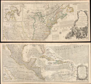
A New and Correct Map of North America, with the West India Islands...
$5,500.00
Acquire
- Digital Map Information
- Suitable for large format printing
- File Size: 129.89 MB
- File Type: ZIP / TIFF
- ICC color profile embedded
- Delivered instantly via download link
This is the 1777 edition of Robert Sayer and John Bennet's two-sheet wall map of North America, published near the start of the American Revolutionary War (1775 - 1783). It is the first 'Pownall' edition of the map, incorporating new surveys and information on the American interior, providing a comprehensive overview of the continent in the aftermath of the French and Indian War. (more details)