
Thomas Brothers

Thomas Brothers (1915 – 1999) was a prominent California-based English-American publisher specializing in maps and guidebooks. Founded in Oakland in 1915 by George Copeland Thomas, Guilbert Thomas, and Leonard Thomas, the company began modestly, selling maps of movie stars' homes from a Hollywood street corner, before developing into a major cartographic and guidebook publisher. Following George Thomas's death in 1955, his widow retained attorney Warren Wilson to organize the company's affairs. When none of the Thomas heirs expressed interest in continuing the business, Wilson and accountant Tom Tripodic purchased it, preserving the Thomas Brothers tradition while pursuing a new direction and eventually relocating the company's headquarters from San Francisco to Irvine, California. The firm prospered under Tripodic, growing to more than 200 employees and dominating the West Coast map market. Rand McNally acquired Thomas Brothers in 1999, laid off many of its experienced cartographers and employees in 2003, and closed the company's remaining California operations in 2009.
Mojave Mines.
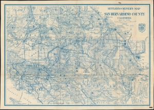
Settler's and miner's map of San Bernardino County California.
$450.00
Acquire
- Digital Map Information
- Suitable for large format printing
- File Size: 62.98 MB
- File Type: ZIP / TIFF
- ICC color profile embedded
- Delivered instantly via download link
A scarce, large-format 1932 James H. Payne map of San Bernardino County, California, published by Thomas Brothers. True to its title, it particularly highlights mines, water sources, and railroads. (more details)
Bay Area near the End of World War II.
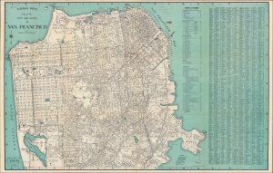
Thomas Bros. Street Map San Francisco, Oakland, including Berkeley-Alameda, San Leandro-Piedmont, Albany-Emeryville.
$350.00
Acquire
- Digital Map Information
- Suitable for large format printing
- Full resolution TIFF file
- ICC color profile embedded
- Delivered instantly via download link
An impressively detailed c. 1945 large-format indexed folding map of San Francisco by Thomas Bros. The verso includes an equally comprehensive map of Oakland, Berkeley, Alameda, and other East Bay cities. Together, they reflect the development and integration of the Bay Area in the years before, during, and after World War II. (more details)
Bay Area in the Early Postwar Period.
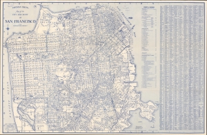
[Cover] Thomas Bros. Street Map San Francisco Oakland including Berkeley-Alameda San Leandro-Piedmont Albany-Emeryville.
$350.00
Acquire
- Digital Map Information
- Suitable for large format printing
- Full resolution TIFF file
- ICC color profile embedded
- Delivered instantly via download link
An impressively c. 1945 large-format Thomas Brothers indexed folding map of San Francisco. The verso includes an equally comprehensive map of Oakland, Berkeley, Alameda, and other East Bay cities. Together, they reflect the development and integration of the Bay Area in the years before, during, and after World War II (1939 - 1945). (more details)
L.A.'s Postwar Building Boom.
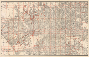
City Street Map of Los Angeles / Thomas Bros. Street Map Los Angeles and Twenty Adjoining Communities.
$300.00
Acquire
- Digital Map Information
- Suitable for large format printing
- Full resolution TIFF file
- ICC color profile embedded
- Delivered instantly via download link
This is a large-format c. 1949 Thomas Brothers street map of Los Angeles and nearby cities in Southern California. It presents the area as the last undeveloped portions of L.A.'s urban sprawl were being filled in, resulting in the seemingly infinite sea of concrete familiar to us today. (more details)
The California Dream and Disneyland.
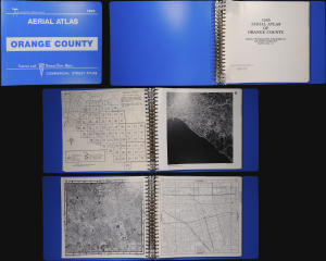
This is a first edition example of an unusual aerial photographic atlas of Orange County, California, published in 1985 by Air Photo Services in conjunction with Thomas Brothers. It depicts the communities of Orange County in gorgeous detail, providing visual evidence of the tremendous population boom underway at the time. (more details)