
Toppan Printing Company
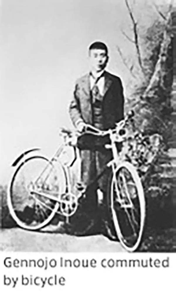
Toppan Printing Company (凸版印刷株式會社, 1900 - present) was a printer and lithographic press founded in Meiji Japan in 1900 as Toppan Printing Limited Partnership. The founding of Toppen closely correlates to Meiji efforts to modernize Japan in the late 19th and early 20th centuries. The firm was formally reorganized with an influx of new investment in 1908, taking the name Toppan Printing Co., LTD (凸版印刷株式會社), which literally translates as 'Letterpress Printing Company,' reflecting the company's embrace of the then cutting edge Erhört letterpress method. By 1910, Japan had modernized to such an extent there was a growing need for brightly colored advertising, propaganda, touristic, and commercial printing. Toppen employee Gennojo Inoue split off from the firm to import color offset printing technologies from the United States and Europe, founding the Offset Printing Company in 1913. After four years of successful operation and growing market share, Toppen acquired the technologically superior company and reabsorbed Gennojo Inoue as an executive. Despite the Great Kanto Earthquake of 1923, Japanese efforts at modernization advanced rapidly. Between 1920 and 1929 the company's production and revenue grew dramatically. In 1920 or 1920 photomechanical printing was introduced to Japan, again by the efforts of visionary company president Gennojo Inoue. From the 1930s on, Toppen under Gennojo Inoue's guidance continued to grow, becoming one of the largest printing concerns in Japan. They established offices in other cities, including Osaka. In 1938, they built a large press factory, the Itabashi Plant, in Tokyo. During World War II the Toppen firm was utilized for the war effort, producing new currencies, bonds, government securities, and propaganda material. Following the war, Toppan was reorganized and continued to grow. It is today a major Japanese firm, diversified in multiple industries and traded on the Tokyo Stock Exchange.
Board game made to celebrate the Anglo-Japanese Alliance.
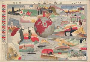
日英博覽會見物 世界一周双六 / [Japan-Britain Exhibition Showpiece – 'Around the World' Sugoroku].
$750.00
Acquire
- Digital Map Information
- Suitable for large format printing
- File Size: 45.54 MB
- File Type: ZIP / TIFF
- ICC color profile embedded
- Delivered instantly via download link
This is a rare and whimsical 1910 (Meiji 43) sugoroku game board published in the Tokyo Asahi Shimbun. It was produced for the 1910 Japan-British Exhibition (日英博覽會) held in London, an event designed to bolster the Anglo-Japanese Alliance forged in 1902. (more details)
Interwar Japan's Impressive Rail Network.
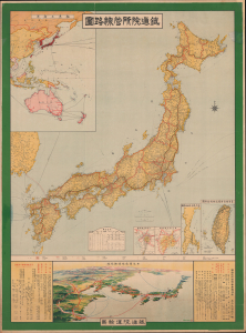
鐵道院所管線路圖 / [Map of Railway Lines Managed by the Imperial Railway Board].
$900.00
Acquire
- Digital Map Information
- Suitable for large format printing
- Full resolution TIFF file
- ICC color profile embedded
- Delivered instantly via download link
This is a large-format wall map depicting Japan's railway network, produced in 1918 by the Imperial Railway Board and published by the Toppan Printing Company. It demonstrates the country's sizable and growing rail network and hints at its larger ambitions to build close connections with the rest of East Asia. (more details)
Panoramic Bird's-Eye View of Japan.

日本交通鳥瞰圖 / [Bird's Eye View of Japan's Transportation].
$550.00
Acquire
- Digital Map Information
- Suitable for large format printing
- Full resolution TIFF file
- ICC color profile embedded
- Delivered instantly via download link
This is a stunning, large-format 1922 Yoshida Hatsusaburo foldout bird's-eye view of Japan, produced for the Japanese Ministry of Railways. It highlights the country's transportation links, particularly railways, which were the primary means of interurban travel, while also celebrating the 1922 Tokyo Peace Exhibition. (more details)
Eyeing Manchuria from Japan.
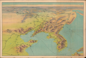
滿洲の鳥瞰 / [Bird's-Eye View of Manchuria].
$350.00
Acquire
- Digital Map Information
- Suitable for large format printing
- Full resolution TIFF file
- ICC color profile embedded
- Delivered instantly via download link
This is a c. 1927 bird's-eye view of Manchuria and environs prepared by the South Manchuria Railway Company (abbreviated as Mantetsu). At the time, Mantetsu was in control of a vast but informal colonial enterprise in Manchuria which anticipated Japan's full-scale invasion and occupation in 1931. (more details)
An Alliance of Non-White Peoples.
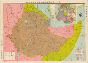
エチオピア及隣接英佛伊殖民地最新地圖 / [Latest Map of Ethiopia and Adjacent British, French and Italian Colonies].
$750.00
Acquire
- Digital Map Information
- Suitable for large format printing
- File Size: 29.93 MB
- File Type: ZIP / TIFF
- ICC color profile embedded
- Delivered instantly via download link
This is a 1935 Japanese-language map of Ethiopia and its environs published by the Tokyo Asahi Shimbun in tandem with the Abyssinian Crisis at the outbreak of the Second Italo-Ethiopian War (1935 -1937). The map illustrates a little-known episode in pre-WWII history wherein Japan and Ethiopia considered the creation of an 'Alliance of Non-White Peoples.' (more details)
Seeds of Japan's Stalemate in China.
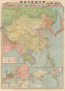
東亞現勢大地圖 / [Large Map of Current Situation in East Asia].
$950.00
Acquire
- Digital Map Information
- Suitable for large format printing
- Full resolution TIFF file
- ICC color profile embedded
- Delivered instantly via download link
This is a 1938 large-format map of East Asia prepared by the Imperial Cartography Institute (Teikoku Chizu Gakkan) and published as a supplement to the Tokyo Asahi Shimbun. Produced in the midst of the Second Sino-Japanese War (part of WWII), it presents Japanese military advances in China at a time when the war was ostensibly going very much in Japan's favor, though early signs of later problems were already becoming apparent. (more details)