
Voisin, François Philippe
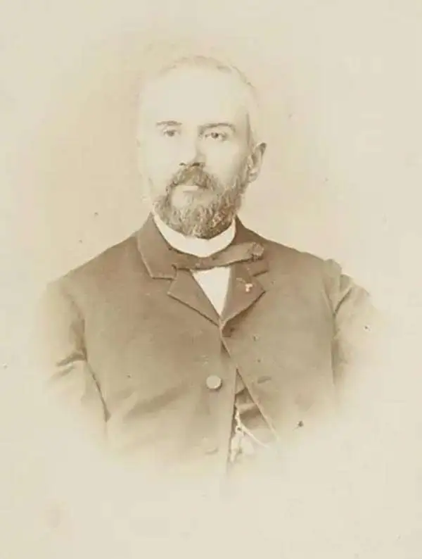
François Philippe Voisin (May 20, 1821 - March 17, 1918) was a French engineer best known for playing a leading role in the design and construction of the Suez Canal. Voisin was born in Versailles and attended the prestigious École Polytechnique, after which he worked for the Corps des Ingénieurs des Ponts, des Eaux et des Forêts. In 1861, he went to work for the Compagnie universelle du canal maritime de Suez (Suez Canal Company) and by 1865 had risen to Directeur des travaux (i.e. Chief Engineer), second only to Ferdinand de Lesseps in the company hierarchy. After the canal's completion, Voisin returned to France to teach at the École des Ponts et Chaussées. In 1880, he was made Director of Public Works in Algeria (then part of France), and in 1884 Voisin became a member of the Board of Directors for the Suez Canal Company, rising to Vice Chairman in 1893. Voisin was widely celebrated as one of the great French engineers of his generation and received various awards in the latter half of his long life, including receiving the title of Bey from the Khedivate of Egypt, leading to his often being referred to as Voisin-Bey. In 1854, Voisin married Mathilde Aronssohn, the daughter of King Louis-Philippe's physician, but unfortunately Mathilde died in 1865 when a cholera epidemic tore through the canal zone.
Earliest Official Map of the Suez Canal.
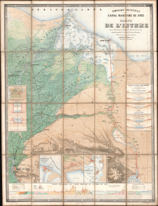
Compagnie Universelle du Canal Maritime de Suez Carte de l'Isthme.
$5,000.00
Acquire
- Digital Map Information
- Suitable for large format printing
- Full resolution TIFF file
- ICC color profile embedded
- Delivered instantly via download link
This is a 1866 large-format chromolithographic folding map issued by the Compagnie universelle du canal maritime de Suez, under the direction of its chief engineer, François-Philippe Voisin. Published in 1866, three years before the canal's completion, this rare first edition of the official canal map is among the most visually compelling and technically detailed maps ever made of the project. During World War I (1914 - 1918), the Imperial German Army deemed it so accurate and useful that it issued a faithful pirated edition for commanders planning an assault on the canal. (more details)