
Wilme, Benjamin Pickever
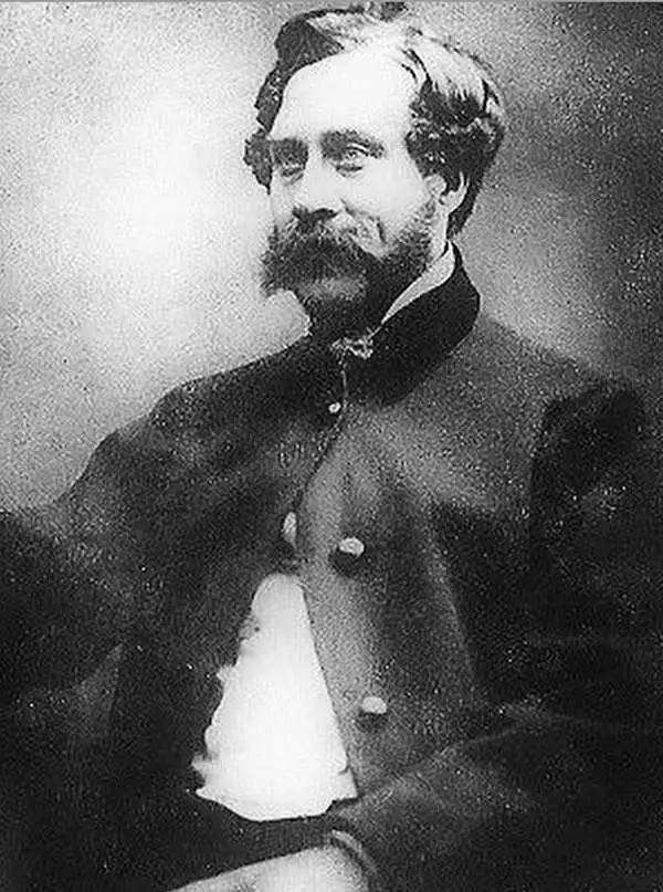
Benjamin Pickever Wilme (c. 1800 - May 8, 1862) was a civil engineer, draughtsman, and surveyor active in London in the mid-19th century. Wilme was most likely born in Ireland, where he married and lived until about 1850, when he resettled in London. He appeared is the 1850 London Directory as a Civil Engineer. He published a handbook on 'Plain and Ornamental Mapping' in 1846.
Innovative 'symbolic' mapping system.
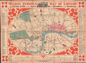
Wilme's Symbolic Map of London. Or Visitors Guide to the Sights and Amusements of the Metropolis.
$2,000.00
Acquire
- Digital Map Information
- Suitable for large format printing
- Full resolution TIFF file
- ICC color profile embedded
- Delivered instantly via download link
A striking colorful 1851 Benjamin Pickever Wilme tourist map of London that stands out in stark contrast to contemporaneous maps for its clarity and utility. Wilme employs a novel system of symbology and reduction to create a practical easy-to-understand tourist guide map. Coverage extends from Pentonville in the north to South Lambeth and from Bayswater in the east to Bermondsey in the west. Bears an old ownership stamp for 'J. W. Fordham'. (more details)