This copy is copyright protected.
Copyright © 2024 Geographicus Rare Antique Maps
1830 Map of Boston, Massachusetts
Boston-unknown-1830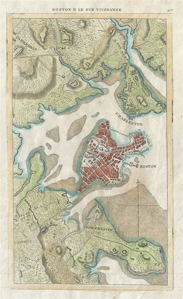

Copyright © 2024 Geographicus Rare Antique Maps | Geographicus Rare Antique Maps
This copy is copyright protected.
Copyright © 2024 Geographicus Rare Antique Maps