This copy is copyright protected.
Copyright © 2024 Geographicus Rare Antique Maps

Details
1956 Deposito Hidrografico Nautical Chart of San Antonio Port, Ibiza
1956 (dated) $175.00
1846 Alabern and Mabon Map of the Balearic Islands: Majorca, Minorca, and Ibiza
IslesBaleares-alabernmabon-1846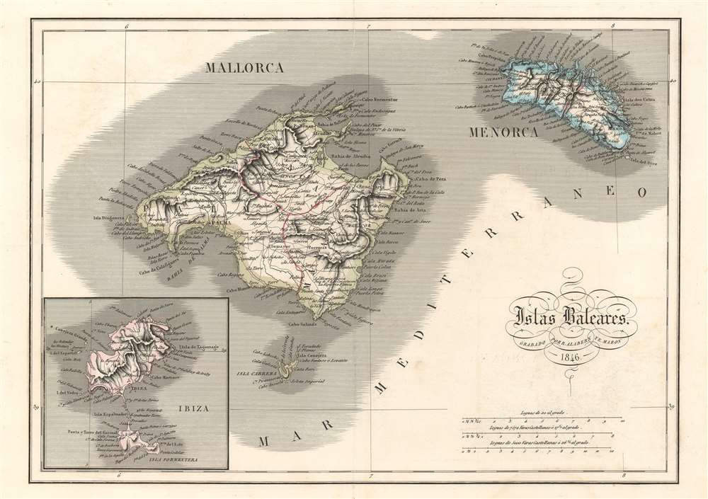

Copyright © 2024 Geographicus Rare Antique Maps | Geographicus Rare Antique Maps
This copy is copyright protected.
Copyright © 2024 Geographicus Rare Antique Maps