This copy is copyright protected.
Copyright © 2024 Geographicus Rare Antique Maps
1910 Bullard Company Gazetteer Map of the World
TheWorld-bullard-1910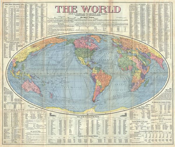

Copyright © 2024 Geographicus Rare Antique Maps | Geographicus Rare Antique Maps
This copy is copyright protected.
Copyright © 2024 Geographicus Rare Antique Maps