This copy is copyright protected.
Copyright © 2024 Geographicus Rare Antique Maps

Details
1913 Crow City Map or Plan of Tianjin / Tientsin, China
1921 (undated) $220.00
1932 Chinese Map of Tientsin (Tianjin or Tienjin), China
Tienjin-showa7-1932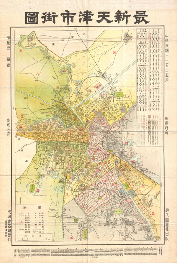

Copyright © 2024 Geographicus Rare Antique Maps | Geographicus Rare Antique Maps
This copy is copyright protected.
Copyright © 2024 Geographicus Rare Antique Maps