This copy is copyright protected.
Copyright © 2024 Geographicus Rare Antique Maps
1840 Ryukei Tajima Japanese Map of the World
World-TajimaRyukei-1840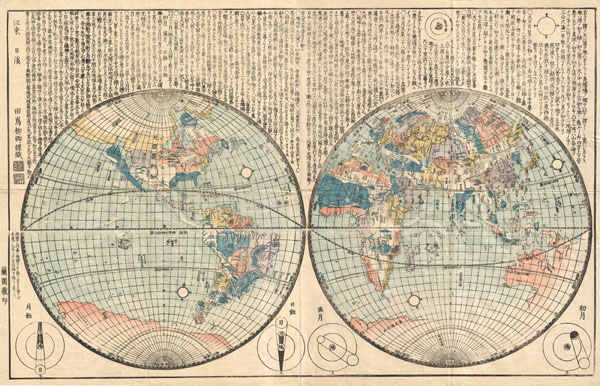

Copyright © 2024 Geographicus Rare Antique Maps | Geographicus Rare Antique Maps
This copy is copyright protected.
Copyright © 2024 Geographicus Rare Antique Maps